Bình Tân District
| Binh Tan District Quận Bình Tân | |
|---|---|
| Urban District | |
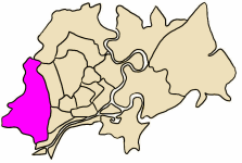 Position in HCMC's core | |
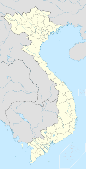  Binh Tan District Location in Vietnam | |
| Coordinates: 10°51′28″N 106°44′28″E / 10.85778°N 106.74111°ECoordinates: 10°51′28″N 106°44′28″E / 10.85778°N 106.74111°E | |
| Country |
 Vietnam Vietnam |
| Centrally governed city | Ho Chi Minh City |
| Wards | 10 phường |
| Government | |
| • People's Committee | Huỳnh Văn Chính |
| Area | |
| • Total | 52 km2 (20 sq mi) |
| Population (2010) | |
| • Total | 611,170 |
| • Density | 12,000/km2 (30,000/sq mi) |
| Demographics | |
| Time zone | ICT (UTC+07) |
| Website | binhtan.hochiminhcity.gov.vn |
Bình Tân is an urban district of Ho Chi Minh City, Vietnam, and is known as a large inner city of migrant workers. In 2010 the district had a population of 611,170, in total area of 52 km².[1]
Geographical location
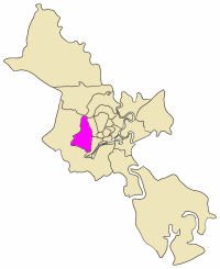
Bình Tân district borders District 12 and Hóc Môn District to the north, District 8 and Bình Chánh District to the south, District 6, District 8 and Tân Bình District to the east, and Bình Chánh District to the west.
Administration
Bình Tân district consists of ten (10) wards:
|
|
References
- ↑ "HCMC's Population and population density in 2010 by district". HCMC Office of Statistics. Retrieved Feb 4, 2014.

This article is issued from Wikipedia - version of the 11/22/2015. The text is available under the Creative Commons Attribution/Share Alike but additional terms may apply for the media files.