Baileys Harbor (CDP), Wisconsin
| Baileys Harbor, Wisconsin | |
|---|---|
| Census-designated place | |
|
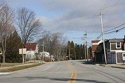
Downtown Baileys Harbor | |
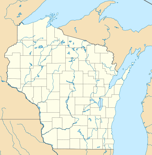  Baileys Harbor Location within the state of Wisconsin | |
| Coordinates: 44°57′6″N 87°20′12″W / 44.95167°N 87.33667°WCoordinates: 44°57′6″N 87°20′12″W / 44.95167°N 87.33667°W | |
| Country | United States |
| State | Wisconsin |
| County | Door |
| Town | Baileys Harbor |
| Area | |
| • Total | 1.687 sq mi (4.37 km2) |
| • Land | 1.684 sq mi (4.36 km2) |
| • Water | 0.003 sq mi (0.008 km2) |
| Elevation | 732 ft (223 m) |
| Population (2010) | |
| • Total | 257 |
| • Density | 150/sq mi (59/km2) |
| Time zone | Central (CST) (UTC-6) |
| • Summer (DST) | CDT (UTC-5) |
| Area code(s) | 920 |
Baileys Harbor is an unincorporated census-designated place in Door County, within the town of Baileys Harbor, Wisconsin, United States. The community is located on Wisconsin Highway 57 northeast of Jacksonport.[1] As of the 2010 census, its population was 257.[2]
History
It was the first established village on the Door Peninsula and was named after Captain Justice Bailey, who while seeking refuge from a violent storm on Lake Michigan found sanctuary in the sheltered harbor in 1848.[3]
Images
-
Panorama from harbor
-
Fire station
-
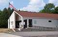
Post Office
-
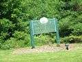
Welcome sign
-
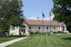
Town hall / Library
-
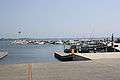
Harbor
References
 |
Wikimedia Commons has media related to Baileys Harbor, Wisconsin. |
- ↑ http://wisconsin.hometownlocator.com/wi/door/baileys-harbor.cfm
- ↑ "American FactFinder". U.S. Census Bureau. Archived from the original on 23 April 2011. Retrieved 29 March 2011.
- ↑ Baileys Harbor Wisconsin
Municipalities and communities of Door County, Wisconsin, United States | ||
|---|---|---|
| City | 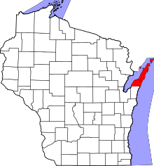 | |
| Villages | ||
| Towns | ||
| CDPs | ||
| Unincorporated communities | ||
| Footnotes | ‡This populated place also has portions in an adjacent county or counties | |
This article is issued from Wikipedia - version of the 9/12/2016. The text is available under the Creative Commons Attribution/Share Alike but additional terms may apply for the media files.