Bani Haiyyan
| Bani Haiyyan بني حيان | |
|---|---|
| Village | |
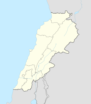  Bani Haiyyan Location within Lebanon | |
| Coordinates: 33°14′35″N 35°29′15″E / 33.24306°N 35.48750°ECoordinates: 33°14′35″N 35°29′15″E / 33.24306°N 35.48750°E | |
| Grid position | 193/294 PAL |
| Country |
 Lebanon Lebanon |
| Governorate | Nabatieh Governorate |
| District | Marjeyoun District |
| Elevation | 505 m (1,657 ft) |
| Time zone | EET (UTC+2) |
| • Summer (DST) | EEST (UTC+3) |
| Dialing code | +961 |
Bani Haiyyan (Arabic: بني حيان ) is a village in the Marjeyoun District in southern Lebanon.
Name
According to E. H. Palmer, the name comes from the Arab tribe of Beni Haiyan.[1]
History
In 1875 Victor Guérin found here about 100 Metuali inhabitants. He further noted: "All the houses are built of regular stones belonging to ancient buildings, and most of the doors have fine lintels."[2]
In 1881, the Palestine Exploration Fund's Survey of Western Palestine (SWP) described it as: "A small village, built of stone, containing about fifty Metawileh, situated on the side of a hill and surrounded by figs, olives, and arable land. The water supply is from about ten rock-cut cisterns in the village and a birket near."[3]
References
Bibliography
- Conder, Claude Reignier; Kitchener, H. H. (1881). The Survey of Western Palestine: Memoirs of the Topography, Orography, Hydrography, and Archaeology. 1. London: Committee of the Palestine Exploration Fund.
- Guérin, Victor (1880). Description Géographique Historique et Archéologique de la Palestine (in French). 3: Galilee, pt. 2. Paris: L'Imprimerie Nationale.
- Palmer, E. H. (1881). The Survey of Western Palestine: Arabic and English Name Lists Collected During the Survey by Lieutenants Conder and Kitchener, R. E. Transliterated and Explained by E.H. Palmer. Committee of the Palestine Exploration Fund.
External links
- Bani Haiyane, Localiban
- Survey of Western Palestine, Map 2: IAA, Wikimedia commons

| Capital | 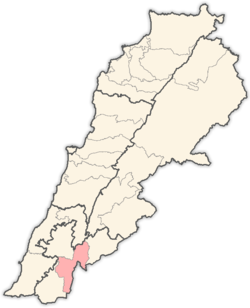 | |
|---|---|---|
| Towns and villages | ||
| Other | ||
This article is issued from Wikipedia - version of the 11/9/2016. The text is available under the Creative Commons Attribution/Share Alike but additional terms may apply for the media files.