Bloomfield (village), Wisconsin
| Bloomfield, Wisconsin | |
|---|---|
| Village | |
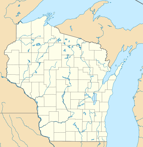  Bloomfield, Wisconsin | |
| Coordinates: 42°32′56″N 88°21′08″W / 42.54889°N 88.35222°WCoordinates: 42°32′56″N 88°21′08″W / 42.54889°N 88.35222°W | |
| Country | United States |
| State | Wisconsin |
| County | Walworth |
| Elevation | 863 ft (263 m) |
| Time zone | Central (CST) (UTC-6) |
| • Summer (DST) | CDT (UTC-5) |
| Area code(s) | 262 |
| GNIS feature ID | 2711667[1] |
| Website | http://bloomfield-wi.us/ |
Bloomfield is a village in Walworth County, Wisconsin, United States.[1] The village was created on December 20, 2011, from unincorporated areas of the Town of Bloomfield. It includes all of the Pell Lake census-designated place and part of the Powers Lake census-designated place.[2]
Demographics
| Historical population | |||
|---|---|---|---|
| Census | Pop. | %± | |
| Est. 2015 | 4,652 | [3] | |
Notes
- 1 2 "Village of Bloomfield". Geographic Names Information System. United States Geological Survey.
- ↑ "Boundary Changes". Geographic Changes. Population Division, United States Census Bureau. January 1, 2012. Retrieved February 26, 2013.
- ↑ "Annual Estimates of the Resident Population for Incorporated Places: April 1, 2010 to July 1, 2015". Retrieved July 2, 2016.
- ↑ "Census of Population and Housing". Census.gov. Archived from the original on May 11, 2015. Retrieved June 4, 2016.
Municipalities and communities of Walworth County, Wisconsin, United States | ||
|---|---|---|
| Cities |  | |
| Villages | ||
| Towns | ||
| CDPs | ||
| Unincorporated communities |
| |
| Ghost towns | ||
| Footnotes | ‡This populated place also has portions in an adjacent county or counties | |
This article is issued from Wikipedia - version of the 11/4/2016. The text is available under the Creative Commons Attribution/Share Alike but additional terms may apply for the media files.