Bothwell, Utah
| Bothwell, Utah | |
|---|---|
| Unincorporated community | |
|
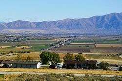
Bothwell, Utah, and the Bear River Valley | |
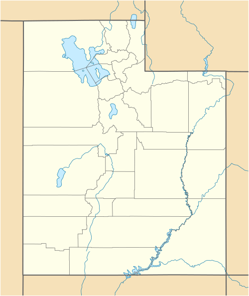  Bothwell Location within the state of Utah | |
| Coordinates: 41°42′30″N 112°15′30″W / 41.70833°N 112.25833°WCoordinates: 41°42′30″N 112°15′30″W / 41.70833°N 112.25833°W | |
| Country | United States |
| State | Utah |
| County | Box Elder |
| Settled | 1894 |
| Incorporated | 1937 |
| Disincorporated | 1967 |
| Founded by | William H. Rowe |
| Named for | John R. Bothwell |
| Elevation[1] | 4,331 ft (1,320 m) |
| Time zone | Mountain (MST) (UTC-7) |
| • Summer (DST) | MDT (UTC-6) |
| GNIS feature ID | 1425891[1] |
| Historical population | |||
|---|---|---|---|
| Census | Pop. | %± | |
| 1940 | 282 | — | |
| 1950 | 317 | 12.4% | |
| 1960 | 302 | −4.7% | |
| Source: U.S. Census Bureau[2] | |||
Bothwell is an unincorporated community in Box Elder County, Utah, United States.
Located on highway U-102, the community is 4.5 miles (7.2 km) west of Tremonton and 3 miles (4.8 km) northeast of Thatcher.
Bothwell was founded as a farming community in 1894. It was originally named Rowville, after Mormon pioneer William H. Rowe.[3] It was renamed Bothwell in 1918, to honor the builders of the Bothwell Canal, a project that aided farming in the area by bringing irrigation water from the Bear River. John R. Bothwell was president of the waterworks at that time.[4]
Bothwell voted to incorporate as a town in 1937, in order to issue municipal bonds to develop the culinary water system. It was disincorporated sometime in the 1960s.
References
- 1 2 U.S. Geological Survey Geographic Names Information System: Bothwell, Utah. Retrieved on May 18, 2011.
- ↑ "Census of Population and Housing". U.S. Census Bureau. Retrieved November 4, 2011.
- ↑ Van Cott, John W. (1990). Utah Place Names. Salt Lake City, Utah: University of Utah Press. p. 45. ISBN 0-87480-345-4.
- ↑ The Utah Genealogical and Historical Magazine
Municipalities and communities of Box Elder County, Utah, United States | ||
|---|---|---|
| Cities |  | |
| Towns | ||
| CDPs | ||
| Unincorporated areas | ||
| Ghost towns | ||