Bragança, Pará
| Bragança, Pará | |||
|---|---|---|---|
| Municipality | |||
|
Bragança (Sao Pedro Alcantara) Cathedral and Obelisk | |||
| |||
| Nickname(s): Tera da Marujada (Land of the Fandango) | |||
 Location of Bragança in the State of Pará | |||
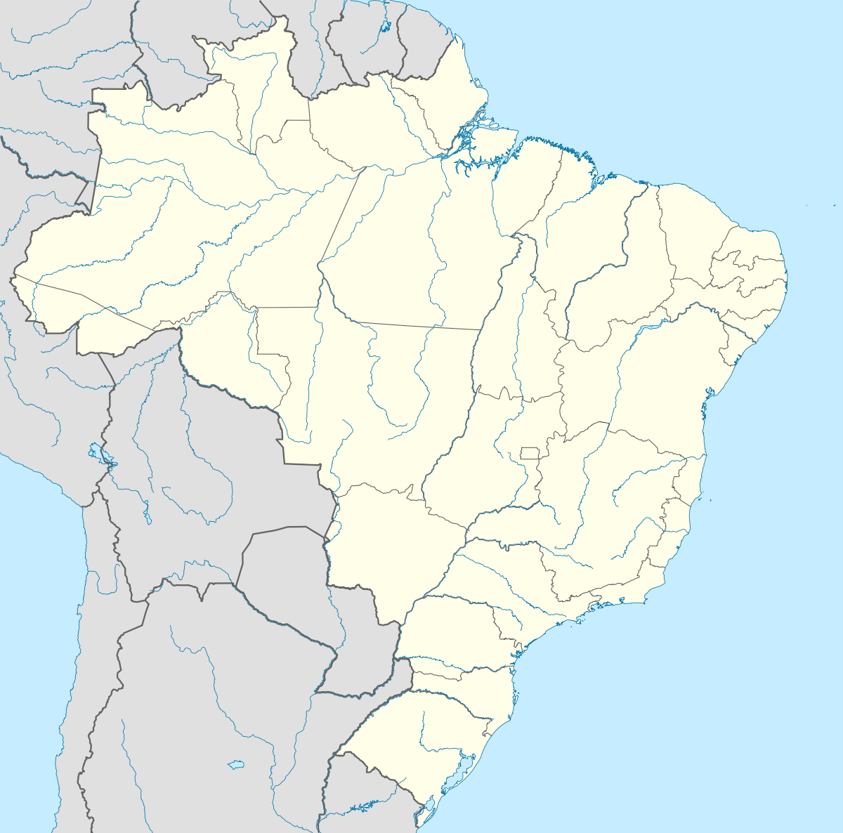  Bragança, Pará Location in Brazil | |||
| Coordinates: BR 01°03′46″S 46°46′22″W / 1.06278°S 46.77278°W | |||
| Country |
 Brazil Brazil | ||
| Region | Northern | ||
| State | Pará | ||
| Mesoregion | Nordeste Paraense | ||
| Demonym | bargantino(a) | ||
| Founded | 1613 | ||
| Government | |||
| • Mayor | Joao Nelson Pereira Magalhaes (PT) | ||
| Area | |||
| • Total | 807.044 sq mi (2,090.234 km2) | ||
| Elevation | 62 ft (19 m) | ||
| Population (2014) | |||
| • Total | 120,124 | ||
| • Density | 148.8/sq mi (57.47/km2) | ||
| Time zone | UTC -3 | ||


Bragança, Pará is a municipality in the state of Pará in the Northern region of Brazil.[1][2][3][4]
The municipality contains part of the 27,864 hectares (68,850 acres) Tracuateua Marine Extractive Reserve, a sustainable use conservation unit created in 2005.[5] It contains the 42,069 hectares (103,950 acres) Caeté-Taperaçu Marine Extractive Reserve, created in 2005.[6]
History
The city was originally founded as New Bragança (after Bragança, Portugal).
See also
References
- ↑ "Divisão Territorial do Brasil" (in Portuguese). Divisão Territorial do Brasil e Limites Territoriais, Instituto Brasileiro de Geografia e Estatística (IBGE). July 1, 2008. Retrieved December 17, 2009.
- ↑ "Estimativas da população para 1º de julho de 2009" (PDF) (in Portuguese). Estimativas de População, Instituto Brasileiro de Geografia e Estatística (IBGE). August 14, 2009. Retrieved December 17, 2009.
- ↑ "Ranking decrescente do IDH-M dos municípios do Brasil" (in Portuguese). Atlas do Desenvolvimento Humano, Programa das Nações Unidas para o Desenvolvimento (PNUD). 2000. Archived from the original on October 3, 2009. Retrieved December 17, 2009.
- ↑ "Produto Interno Bruto dos Municípios 2002-2005" (PDF) (in Portuguese). Instituto Brasileiro de Geografia e Estatística (IBGE). December 19, 2007. Archived from the original (PDF) on October 2, 2008. Retrieved December 17, 2009.
- ↑ RESEX Marinha de Tracuateua (in Portuguese), ISA: Instituto Socioambiental, retrieved 2016-06-04
- ↑ RESEX Marinha de Caeté-Taperaçu (in Portuguese), ISA: Instituto Socioambiental, retrieved 2016-09-12
Capital: Belém | |||||||||||||||||||||||||||
| Mesoregion Baixo Amazonas |
| 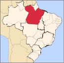 | |||||||||||||||||||||||||
| Mesoregion Marajó |
| ||||||||||||||||||||||||||
| Mesoregion Metropolitana de Belém |
| ||||||||||||||||||||||||||
| Mesoregion Nordeste Paraense |
| ||||||||||||||||||||||||||
| Mesoregion Sudeste Paraense |
| ||||||||||||||||||||||||||
| Mesoregion Sudoeste Paraense |
| ||||||||||||||||||||||||||

Coordinates: 1°03′46″S 46°46′22″W / 1.06278°S 46.77278°W
This article is issued from Wikipedia - version of the 11/7/2016. The text is available under the Creative Commons Attribution/Share Alike but additional terms may apply for the media files.