Brasilândia
| Brasilândia | |
|---|---|
| Municipality | |
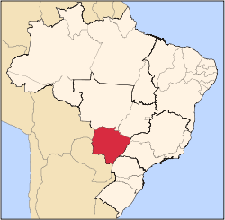
 Location in Mato Grosso do Sul state | |
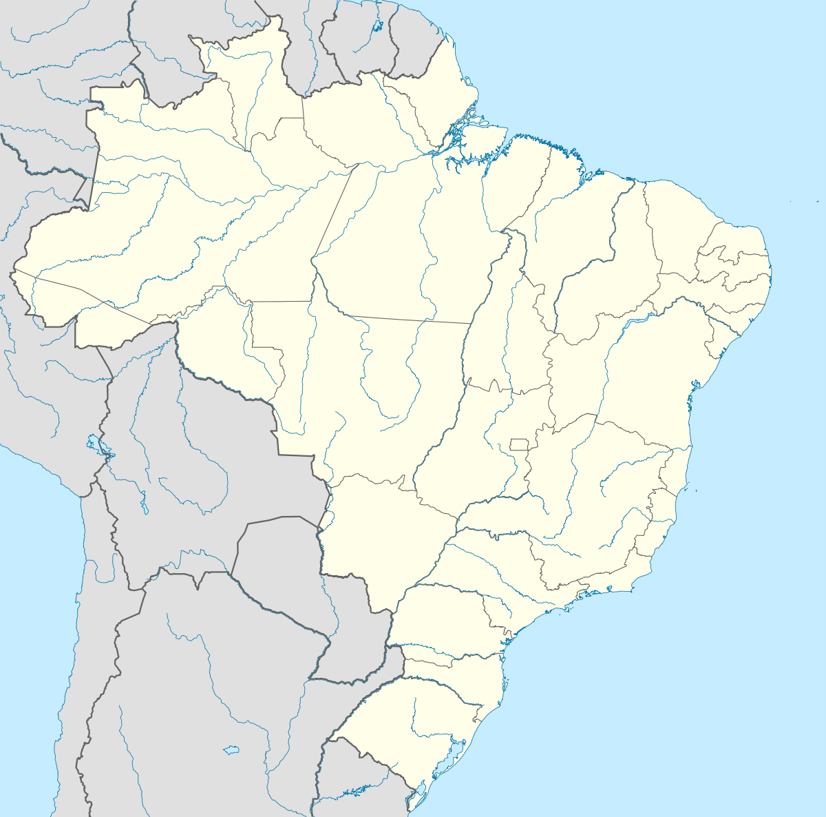  Brasilândia Location in Brazil | |
| Coordinates: 21°15′21″S 52°02′13″W / 21.25583°S 52.03694°WCoordinates: 21°15′21″S 52°02′13″W / 21.25583°S 52.03694°W | |
| Country |
 Brazil Brazil |
| Region | Central-West Region |
| State | Mato Grosso do Sul |
| Area | |
| • Total | 5,807 km2 (2,242 sq mi) |
| Population (2005) | |
| • Total | 12,963 |
| • Density | 2.2/km2 (5.8/sq mi) |
| Time zone | BRT-1/BRST-1 (UTC-4/-3) |
Brazlândia is a municipality located in the Brazilian state of Mato Grosso do Sul. Its population was 12,963 (2005) and its area is 5,807 km2.[1]
The municipality contains the 3,858 hectares (9,530 acres) Cisalpina Private Natural Heritage Reserve, created in 2016.[2]
References
- ↑ IBGE – Cities Archived June 11, 2008, at the Wayback Machine.
- ↑ Verruck, Jaime Elias (6 June 2016), RESOLUÇÃO SEMADE Nº 35, de 06 de junho de 2016 (PDF) (in Portuguese), retrieved 2016-11-14
Capital: Campo Grande | |||||||||||||||
| Mesoregion Centro Norte de Mato Grosso do Sul |
|  | |||||||||||||
| Mesoregion Leste de Mato Grosso do Sul |
| ||||||||||||||
| Mesoregion Pantanal Sul Mato-Grossense |
| ||||||||||||||
| Mesoregion Sudoeste de Mato Grosso do Sul |
| ||||||||||||||

This article is issued from Wikipedia - version of the 11/18/2016. The text is available under the Creative Commons Attribution/Share Alike but additional terms may apply for the media files.