Bryant, Washington
This article is about the CDP north of Seattle. For the neighborhood in Seattle, see Bryant, Seattle, Washington.
| Bryant, Washington | |
|---|---|
| CDP | |
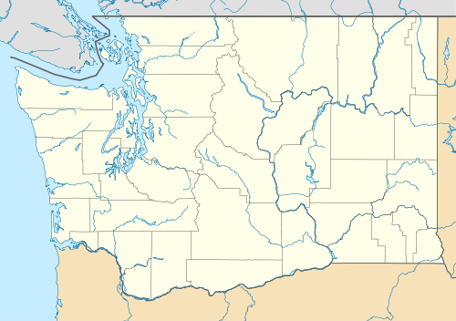  Bryant, Washington Location of Bryant, Washington. | |
| Coordinates: 48°14′54″N 122°10′28″W / 48.24833°N 122.17444°WCoordinates: 48°14′54″N 122°10′28″W / 48.24833°N 122.17444°W | |
| Country | United States |
| State | Washington |
| County | Snohomish |
| Area | |
| • Total | 6.175 sq mi (15.99 km2) |
| • Land | 6.141 sq mi (15.91 km2) |
| • Water | 0.034 sq mi (0.09 km2) |
| Population (2010) | |
| • Total | 1,870 |
| • Density | 304.5/sq mi (117.6/km2) |
| Time zone | Pacific (PST) (UTC-8) |
| • Summer (DST) | PDT (UTC-7) |
| GNIS feature ID | 1512041[1] |
Bryant is a census-designated place (CDP) in Snohomish County, Washington, United States. The population was 1,870 at the 2010 census.
A post office called Bryant was established in 1893, and remained in operation until 1954.[2] The community most likely took its name from the Bryant Lumber and Shingle Company.[3]
Geography
Bryant is located at 48°14′54″N 122°10′28″W / 48.24833°N 122.17444°W (48.248420, -122.174430).[4]
According to the United States Census Bureau, the CDP has a total area of 6.175 square miles (15.99 km²), of which, 6.141 square miles (15.91 km²) of it is land and 0.034 square miles (0.09 km²) of it (0.55%) is water.
References
- ↑ "US Board on Geographic Names". United States Geological Survey. 2007-10-25. Retrieved 2008-01-31.
- ↑ "Post Offices". Jim Forte Postal History. Archived from the original on 6 March 2016. Retrieved 18 July 2016.
- ↑ Meany, Edmond S. (1923). Origin of Washington geographic names. Seattle: University of Washington Press. p. 29.
- ↑ "US Gazetteer files: 2010, 2000, and 1990". United States Census Bureau. 2011-02-12. Retrieved 2011-04-23.
Municipalities and communities of Snohomish County, Washington, United States | ||
|---|---|---|
| Cities |  | |
| Towns | ||
| CDPs |
| |
| Other unincorporated communities | ||
| Ghost town | ||
| Indian reservation | ||
| Footnotes | ‡This populated place also has portions in an adjacent county or counties | |
This article is issued from Wikipedia - version of the 11/9/2016. The text is available under the Creative Commons Attribution/Share Alike but additional terms may apply for the media files.