Buttstädt
| Buttstädt | ||
|---|---|---|
| ||
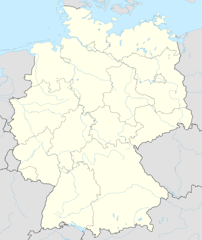  Buttstädt | ||
Location of Buttstädt within Sömmerda district 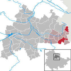 | ||
| Coordinates: 51°7′0″N 11°25′0″E / 51.11667°N 11.41667°ECoordinates: 51°7′0″N 11°25′0″E / 51.11667°N 11.41667°E | ||
| Country | Germany | |
| State | Thuringia | |
| District | Sömmerda | |
| Municipal assoc. | Buttstädt | |
| Government | ||
| • Mayor | Hendrik Blose (SPD) | |
| Area | ||
| • Total | 18.31 km2 (7.07 sq mi) | |
| Population (2015-12-31)[1] | ||
| • Total | 2,566 | |
| • Density | 140/km2 (360/sq mi) | |
| Time zone | CET/CEST (UTC+1/+2) | |
| Postal codes | 99628 | |
| Dialling codes | 036373 | |
| Vehicle registration | SÖM | |
| Website |
stadt-buttstaedt | |

Buttstädt is a town in the district of Sömmerda, in Thuringia, Germany. It is situated 16 km northeast of Weimar.
History
Within the German Empire (1871-1918), Buttstädt was part of the Grand Duchy of Saxe-Weimar-Eisenach.
Village center
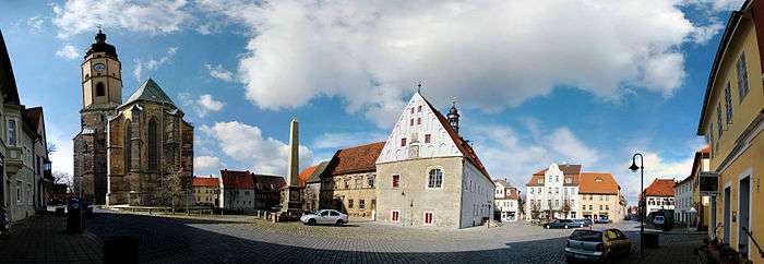
Market place with St. Michaelis church to the left
Personalities
Honorary citizen
- Ernst Behr (1847-1929), evangelical superintendent
Sons and daughters of the town
- Heinrich Graefe (1802-1868), educator
- Ortrun Wenkel (born 1942), opera singer
- Henry Lauterbach (born 1957), athlete in long jump and high jump
People connected to Buttstädt
- Johann Samuel Schröter (1735-1808), theologian
- Johannes Enke (1899-1945), communist, resistance fighter against the Nazi regime, Nazi victim
References
- ↑ "Bevölkerung der Gemeinden, Gemeinschaftsfreie Gemeinde, erfüllende/beauftragende Gemeinden, Verwaltungsgemeinschaft/Mitgliedsgemeinden in Thüringen". Thüringer Landesamt für Statistik (in German). July 2016.
This article is issued from Wikipedia - version of the 10/11/2016. The text is available under the Creative Commons Attribution/Share Alike but additional terms may apply for the media files.