Catlin Township, Marion County, Kansas
| Catlin Township Marion County, Kansas | |
|---|---|
| Township | |
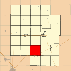 Location within Marion County | |
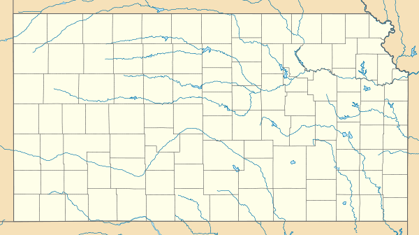  Catlin Township | |
| Coordinates: 38°12′56″N 097°5′14″W / 38.21556°N 97.08722°WCoordinates: 38°12′56″N 097°5′14″W / 38.21556°N 97.08722°W | |
| Country | United States |
| State | Kansas |
| County | Marion |
| Area | |
| • Total | 36 sq mi (90 km2) |
| Dimensions | |
| • Length | 6.0 mi (9.7 km) |
| • Width | 6.0 mi (9.7 km) |
| Elevation | 1,411 ft (430 m) |
| Population (2010)[1] | |
| • Total | 187 |
| • Density | 5.2/sq mi (2.0/km2) |
| Time zone | CST (UTC-06:00) |
| • Summer (DST) | CDT (UTC-05:00) |
| Area code(s) | 620 |
| FIPS code | 20-11075 [2] |
| GNIS feature ID | 477361 [3] |
| Website | County Website |
|
| |
Catlin Township is a township in Marion County, Kansas, United States. As of the 2010 census, the township population was 187, including a fraction of the city of Peabody.[1]
Geography
Catlin Township covers an area of 36 square miles (93.2 km2).
Communities
The township contains the following settlements:
- City of Peabody (north of 9th Street). The majority of Peabody is located in Peabody Township.
Cemeteries
The township contains the following cemeteries:[4]
- Catlin Mennonite Church Cemetery, located in Section 17 T21S R3E.[5] The church was closed and demolished in the 1960s.
- Prairie Lawn Cemetery (aka Brookdell Cemetery), located in Section 34 T21S R3E. Main cemetery for city of Peabody.
- Tharp Cemetery, located in Section 2 T21S R3E.
Transportation
U.S. Route 50 passes along the southern township edge, and follows roughly parallel to the BNSF Railway.[6]
Further reading
References
- 1 2 "2010 Total Population - Township of Catlin". U.S. Census Bureau. Retrieved June 15, 2013.
- ↑ "American FactFinder". United States Census Bureau. Archived from the original on 2013-09-11. Retrieved 2011-05-14.
- ↑ U.S. Geological Survey Geographic Names Information System: Township of Catlin
- ↑ Marion County Cemetery List; KsGenWeb. (archived on archive.org)
- ↑ Catlin Mennonite Church; Global Anabaptist Mennonite Encycolopedia Online.
- ↑ Marion County Highway Map; KSDOT.
External links
- Marion County Website
- City-Data.com
- Marion County Maps: Current, Historic, KDOT
 |
Liberty Township | Wilson Township | Fairplay Township | |
| East Branch Township |  |
Fairplay Township | ||
| ||||
 | ||||
| Walton Township (Harvey County) | Peabody Township | Summit Township |


Municipalities and communities of Marion County, Kansas, United States | ||
|---|---|---|
| Cities |  | |
| Unincorporated communities | ||
| Ghost towns | ||
| Townships | ||
| Footnotes | ‡This populated place also has portions in an adjacent county or counties | |
This article is issued from Wikipedia - version of the 11/17/2016. The text is available under the Creative Commons Attribution/Share Alike but additional terms may apply for the media files.