Cawood, Kentucky
| Cawood | |
|---|---|
| CDP | |
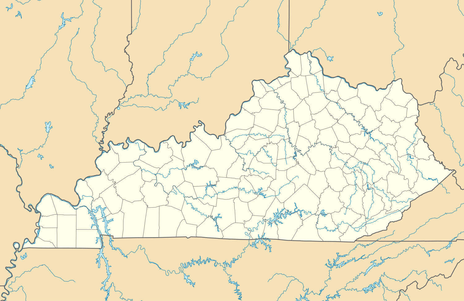  Cawood Location within the state of Kentucky | |
| Coordinates: 36°47′2″N 83°13′42″W / 36.78389°N 83.22833°WCoordinates: 36°47′2″N 83°13′42″W / 36.78389°N 83.22833°W | |
| Country | United States |
| State | Kentucky |
| County | Harlan |
| Area | |
| • Total | 57.4 sq mi (149 km2) |
| • Land | 57.4 sq mi (149 km2) |
| • Water | 0.0 sq mi (0.0 km2) |
| Elevation | 1,320 ft (400 m) |
| Population (2000) | |
| • Total | 731 |
| Time zone | Central (CST) (UTC-6) |
| • Summer (DST) | EDT (UTC-5) |
| ZIP codes | 40815 |
| GNIS feature ID | 489151[1] |
Cawood is a census-designated place (CDP) and coal town in Harlan County, Kentucky, United States. The population was 731 at the 2010 census.
A post office in Cawood was established in 1890 by Wilson S. Hensley, whose ancestor is said to have been one Berry Cawood, a hero of the Revolutionary War.[2]
Demographics
As of the 2010 census there were 731 people, 292 households, and 210 families residing in the CDP.[3] The population density was 39 people per square mile (61.1/km²).[4]
References
- ↑ U.S. Geological Survey Geographic Names Information System: Cawood, Kentucky
- ↑ Rennick, Robert M. (1987). Kentucky Place Names. University Press of Kentucky. p. 53. Retrieved 2013-04-28.
- ↑ http://www.census.gov/geo/www/gazetteer/gazetteer2010.html
- ↑ http://www.census.gov/geo/www/gazetteer/gazetteer2010.html

This article is issued from Wikipedia - version of the 10/10/2016. The text is available under the Creative Commons Attribution/Share Alike but additional terms may apply for the media files.