Claridon, Marion County, Ohio
| Claridon, Ohio | |
|---|---|
| Unincorporated community | |
  Claridon, Ohio | |
| Coordinates: 40°34′59″N 82°59′49″W / 40.58306°N 82.99694°WCoordinates: 40°34′59″N 82°59′49″W / 40.58306°N 82.99694°W | |
| Country | United States |
| State | Ohio |
| County | Marion |
| Elevation | 984 ft (300 m) |
| Time zone | Eastern (EST) (UTC-5) |
| • Summer (DST) | EDT (UTC-4) |
| Area code(s) | 419 |
| GNIS feature ID | 1056804[1] |
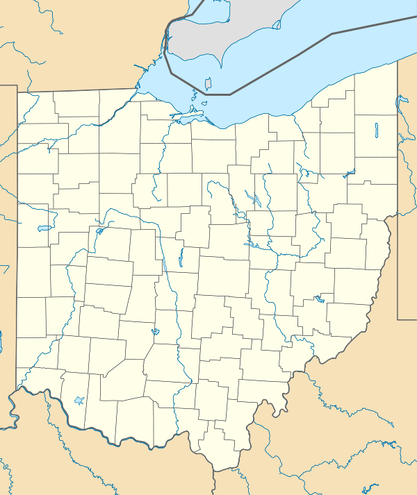
Claridon is an unincorporated community in Marion County, Ohio, United States. Claridon is located on Ohio State Route 95, 7 miles (11 km) east of Marion.[2]
History
Claridon was laid out in 1821.[3] The young community was once a contender for the county seat.[4] A post office called Claridon was established in 1819, and remained in operation until 1831.[5] Besides the post office, Claridon had a tavern and a country store.[6]
References
- ↑ "Claridon". Geographic Names Information System. United States Geological Survey.
- ↑ Official Transportation Map (PDF) (Map). Ohio Department of Transportation. 2011. Retrieved March 10, 2013.
- ↑ Overman, William Daniel (1958). Ohio Town Names. Akron, OH: Atlantic Press. p. 29.
- ↑ The History of Marion County, Ohio: Containing a History of the County; Its Townships, Towns, Churches, Schools, Etc. Chicago: Leggett, Conaway & Co. 1883. p. 696.
- ↑ "Marion County". Jim Forte Postal History. Retrieved 2 January 2016.
- ↑ Kilbourn, John (1833). The Ohio Gazetteer, or, a Topographical Dictionary. Scott and Wright. p. 137. Retrieved 12 December 2013.
Municipalities and communities of Marion County, Ohio, United States | ||
|---|---|---|
| City |  | |
| Villages | ||
| Townships | ||
| Unincorporated communities | ||
| Ghost town | ||
This article is issued from Wikipedia - version of the 10/17/2016. The text is available under the Creative Commons Attribution/Share Alike but additional terms may apply for the media files.