Cloverdale, Wood County, Ohio
| Cloverdale, Ohio | |
|---|---|
| Unincorporated community | |
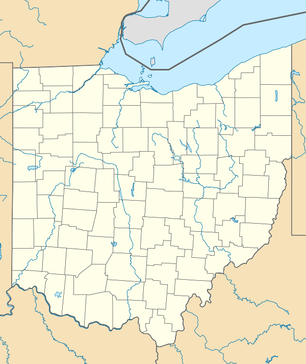  Cloverdale, Ohio | |
| Coordinates: 41°20′29.4066″N 83°34′20.8812″W / 41.341501833°N 83.572467000°WCoordinates: 41°20′29.4066″N 83°34′20.8812″W / 41.341501833°N 83.572467000°W | |
| Country | United States |
| State | Ohio |
| County | Wood |
| Elevation | 673 ft (205 m) |
| Time zone | Eastern (EST) (UTC-5) |
| • Summer (DST) | EDT (UTC-4) |
| Area code(s) | 419 & 567 |
Cloverdale is an unincorporated community in Wood County, Ohio, United States.[1] It is part of Portage Township and located at the intersection of Cloverdale and Kramer roads.
History
A post office called Cloverdale was established in 1892, and remained in operation until 1904.[2] Besides the post office, Cloverdale had a church building.[3]
Notes
- ↑ http://ohio.hometownlocator.com/oh/wood/cloverdale.cfm
- ↑ "Wood County". Jim Forte Postal History. Archived from the original on 29 January 2016. Retrieved 12 January 2016.
- ↑ Leeson, Michael A. (1897). Commemorative Historical and Biographical Record of Wood County, Ohio: Its Past and Present, Early Settlement and Development. J.H. Beers & Company. p. 393.
Municipalities and communities of Wood County, Ohio, United States | ||
|---|---|---|
| Cities | 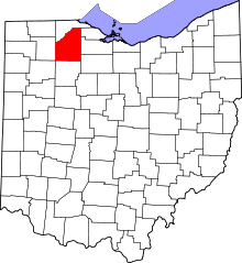 | |
| Villages | ||
| Townships | ||
| CDPs | ||
| Other unincorporated communities | ||
| Footnotes | ‡This populated place also has portions in an adjacent county or counties | |
This article is issued from Wikipedia - version of the 11/26/2016. The text is available under the Creative Commons Attribution/Share Alike but additional terms may apply for the media files.