Cogealac
| Cogealac | |
|---|---|
| Commune | |
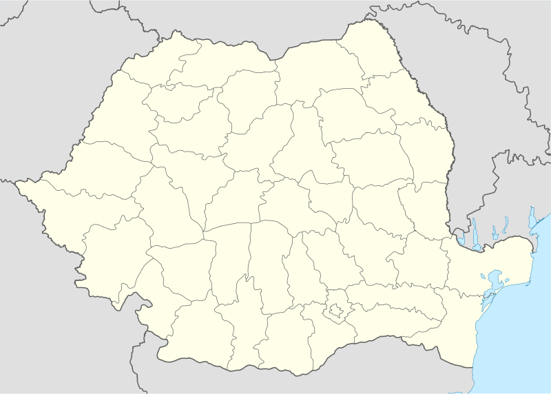  Cogealac Location of Cogealac | |
| Coordinates: 44°33′0″N 28°34′0″E / 44.55000°N 28.56667°ECoordinates: 44°33′0″N 28°34′0″E / 44.55000°N 28.56667°E | |
| Country |
 Romania Romania |
| County | Constanţa County |
| Status | Commune |
| Component villages | Cogealac, Gura Dobrogei, Râmnicu de Jos, Râmnicu de Sus, Tariverde |
| Government | |
| • Mayor | Gheorghe Alexa[1] (People's Movement Party) |
| Area | |
| • Total | 238.25 km2 (91.99 sq mi) |
| Population (2011[2]) | |
| • Total |
 4,356 4,356 |
| Time zone | EET (UTC+2) |
| • Summer (DST) | EEST (UTC+3) |
| Website | http://www.primariacogealac.ro/ |
Cogealac is a commune in Constanţa County, Romania.
The commune includes six villages:
- Cogealac (historical names: Domneşti, Turkish: Kocalak)
- Gura Dobrogei (historical names: Câvârgic, Turkish: Kıvırcık)
- Râmnicu de Jos
- Râmnicu de Sus
- Tariverde (historical name: Dorotea)
The territory of the commune also includes the former village of Colelia (Turkish: Kuleli), at 44°36′10″N 28°24′39″E / 44.60278°N 28.41083°E, disestablished by Presidential Decree in 1977. The former village was populated by Dobrujan Germans until 1942 and it is now the site of the Colilia Monastery.[3]
Demographics
At the 2011 census, Cogealac had 4,466 Romanians (98.89%), 4 Turks (0.09%), 46 others (1.02%).
References
- ↑ "Luptă strânsă pentru Consiliul Judeţean Constanţa între PSD şi PNL. Noua garnitură de primari" (in Romanian). Ziua de Constanța. 7 June 2016. Retrieved 7 June 2016.
- ↑ "Constanta County at the 2011 census" (PDF) (in Romanian). INSSE. February 2, 2012. Archived from the original (PDF) on March 24, 2012. Retrieved March 8, 2012.
- ↑ (Romanian) Formula As, The Monastery Named After a Herb, accessed on March 13, 2012
This article is issued from Wikipedia - version of the 11/27/2016. The text is available under the Creative Commons Attribution/Share Alike but additional terms may apply for the media files.