Independența, Constanța
For other places with the same name, see Independenţa (disambiguation).
| Independența | |
|---|---|
| Commune | |
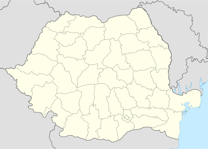  Independența Location of Independența, Constanţa | |
| Coordinates: 43°58′0″N 28°5′0″E / 43.96667°N 28.08333°ECoordinates: 43°58′0″N 28°5′0″E / 43.96667°N 28.08333°E | |
| Country |
 Romania Romania |
| County | Constanța County |
| Status | Commune |
| Component villages | Independența, Fântâna Mare, Movila Verde, Olteni, Tufani |
| Government | |
| • Mayor | Marius Ștefan (National Liberal Party) |
| Area | |
| • Total | 177.90 km2 (68.69 sq mi) |
| Population (2011[1]) | |
| • Total |
 3,033 3,033 |
| Time zone | EET (UTC+2) |
| • Summer (DST) | EEST (UTC+3) |
| Website | http://www.primariaindependenta-ct.ro/ |
Independența is a commune in Constanța County, Romania. It includes five villages:
- Independența (historical name: Bairamdede, Turkish: Bayramdede)
- Fântâna Mare (historical name: Başpunar, Turkish: Başpınar)
- Movila Verde (historical names: Feteşti, Turkish: Kızıl Murat)
- Olteni (historical names: Demircea, Turkish: Demirci)
- Tufani (historical names: Cara Agi, Turkish: Karacy)
The commune also included the villages of Periș (historical name: Armutlia), located at 43°52′23″N 27°59′56″E / 43.873°N 27.999°E, and Căciulaţi (historical name: Cealmagea), located at 43°54′00″N 28°02′00″E / 43.9°N 28.0333°E,[2] which were nominally merged with Olteni by the 1968 administrative reform and are currently deserted.[3][4]
Demographics
At the 2011 census, Independența had 2,359 Romanians (77.78%), 397 Turks (13.09%), 270 Tatars (8.90%), 7 others (0.23%).[1]
References
- 1 2 "Constanta County at the 2011 census" (PDF) (in Romanian). INSSE. February 2, 2012. Retrieved March 8, 2012.
- ↑ Fallingrain.com, Location of Căciulaţi, accessed on March 21, 2012
- ↑ (Romanian) Cuget Liber, The lost paradise of Dobruja - the story of a family of veterans from the Independence War who founded Periș village 100 years ago, accessed on July 13, 2011
- ↑ (Romanian) Jurnalul.ro, The Blacks, the Germans and the Turkish Savior, accessed on February 17, 2012
This article is issued from Wikipedia - version of the 6/6/2016. The text is available under the Creative Commons Attribution/Share Alike but additional terms may apply for the media files.