Cranesville, West Virginia
| Cranesville, West Virginia | |
|---|---|
| Unincorporated community | |
  Cranesville, West Virginia  Cranesville, West Virginia | |
| Coordinates: 39°33′11″N 79°29′41″W / 39.55306°N 79.49472°WCoordinates: 39°33′11″N 79°29′41″W / 39.55306°N 79.49472°W | |
| Country | United States |
| State | West Virginia |
| County | Preston |
| Elevation | 2,612 ft (796 m) |
| Time zone | Eastern (EST) (UTC-5) |
| • Summer (DST) | EDT (UTC-4) |
| Area code(s) | 304 & 681 |
| GNIS feature ID | 1537805[1] |
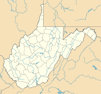
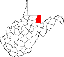
Cranesville is an unincorporated community in Preston County, West Virginia, United States. Cranesville is located along County Route 47 7.9 miles (12.7 km) north-northeast of Terra Alta.[2]
History
The first permanent settlement at Cranesville was made in the 1850s.[3] The community was named for John Crane, proprietor.[4]
The Reckart Mill, which is listed on the National Register of Historic Places, is located near Cranesville.[5]
References
- ↑ "Cranesville". Geographic Names Information System. United States Geological Survey.
- ↑ Preston County, West Virginia General Highway Map (PDF) (Map). West Virginia Department of Transportation. 2011. p. 2. Retrieved June 30, 2012.
- ↑ Morton, Oren Frederic; Cole, J. R. (1914). A History of Preston County, West Virginia. Journal Publishing Company. p. 251.
- ↑ Kenny, Hamill (1945). West Virginia Place Names: Their Origin and Meaning, Including the Nomenclature of the Streams and Mountains. Piedmont, WV: The Place Name Press. p. 191.
- ↑ National Park Service (2010-07-09). "National Register Information System". National Register of Historic Places. National Park Service.
This article is issued from Wikipedia - version of the 10/30/2016. The text is available under the Creative Commons Attribution/Share Alike but additional terms may apply for the media files.