Dangibari
| Dangibari डाँगीबारी | |
|---|---|
| Village development committee | |
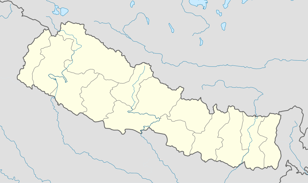  Dangibari Location in Nepal | |
| Coordinates: 26°35′N 87°56′E / 26.58°N 87.93°ECoordinates: 26°35′N 87°56′E / 26.58°N 87.93°E | |
| Country |
 Nepal Nepal |
| Zone | Mechi Zone |
| District | Jhapa District |
| Population (1991) | |
| • Total | 7,472 |
| Time zone | Nepal Time (UTC+5:45) |
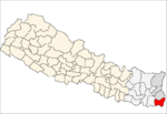
Dangibari is a village development committee in Jhapa District in the Mechi Zone of south-eastern Nepal. At the time of the 1991 Nepal census it had a population of 7472.[1]
It borders with Ghaliadubba, Charpane, Garamani, Chakchaki, Saranamati and Surunga VDCs. It is divided to 9 wards. The predominant caste is Brahman, Kshetri, Rajbanshi, limbu Santhal among others. Basic infrastructural development is satisfactory here including school, roads, electricity, drinking water and irrigation. A major fraction of alluvial fertile land of Jhapa lies here. Various notable figures in National politics and bureaucracy belongs to this place. A major touristic and historical religious site Barhadashi (kuti danda) lies at 8th ward of this VDC.
References
- ↑ "Nepal Census 2001". Nepal's Village Development Committees. Digital Himalaya. Retrieved 24 November 2008.