Diepkloof
For the archeological site, see Diepkloof Rock Shelter.
| Diepkloof | |
|---|---|
|
Chris Hani Baragwanath Hospital in Diepkloof | |
  Diepkloof  Diepkloof  Diepkloof
| |
|
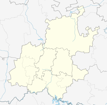
Location within Greater Johannesburg 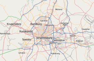 Diepkloof | |
| Coordinates: 26°14′56″S 27°56′46″E / 26.249°S 27.946°ECoordinates: 26°14′56″S 27°56′46″E / 26.249°S 27.946°E | |
| Country | South Africa |
| Province | Gauteng |
| Municipality | City of Johannesburg |
| Area[1] | |
| • Total | 9.46 km2 (3.65 sq mi) |
| Population (2011)[2] | |
| • Total | 95,067 |
| • Density | 10,000/km2 (26,000/sq mi) |
| Racial makeup (2011)[1] | |
| • Black African | 99.7% |
| • Coloured | 0.2% |
| • White | 0.1% |
| First languages (2011)[1] | |
| • Zulu | 34.3% |
| • Tswana | 14.6% |
| • Sotho | 12.8% |
| • Tsonga | 12.4% |
| • Other | 25.9% |
| Postal code (street) | 1862 |
| PO box | 1864 |

Diepkloof is a large zone of Soweto township in the southwest Johannesburg in the Gauteng province of South Africa. It is also sometimes referred to as Diepmeadow, if considered as a single township with the nearby Meadowlands. Diepkloof was established in 1959 to accommodate people being removed from Alexandra.
References
- 1 2 3 "Main Place Diepkloof". Census 2001.
- ↑ STATS SA. "Census 2011".
This article is issued from Wikipedia - version of the 11/22/2016. The text is available under the Creative Commons Attribution/Share Alike but additional terms may apply for the media files.