Dumont, Colorado
| Dumont, Colorado | |
|---|---|
| Unincorporated community | |
|
Dumont looking up towards the Divide. | |
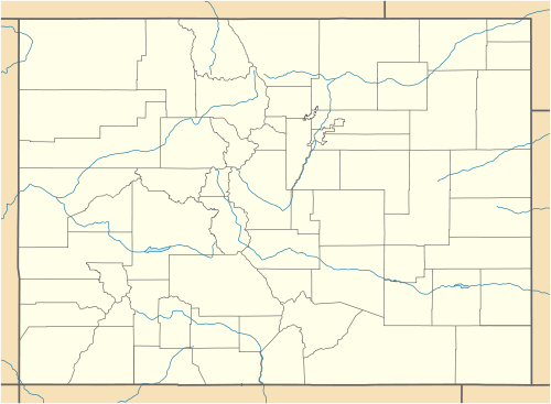  Dumont, Colorado Location within the state of Colorado | |
| Coordinates: 39°45′52″N 105°35′57″W / 39.76444°N 105.59917°WCoordinates: 39°45′52″N 105°35′57″W / 39.76444°N 105.59917°W | |
| Country |
 United States United States |
| State |
 State of Colorado State of Colorado |
| County | Clear Creek County[1] |
| Elevation[1] | 7,933 ft (2,418 m) |
| Time zone | MST (UTC-7) |
| • Summer (DST) | MDT (UTC-6) |
| ZIP code[2] | 80436 |
| Area code(s) | Both 303 and 720 |
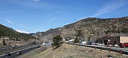
Dumont is a small unincorporated community and U.S. Post Office situated along Clear Creek in Clear Creek County, Colorado, United States. The Dumont Post Office has the ZIP Code 80436.[2] Dumont is a part of the Downieville-Lawson-Dumont census-designated place.
History
Dumont is named for John M. Dumont, a mine operator.[3]
Geography
Dumont is located at 39°45′52″N 105°35′57″W / 39.76444°N 105.59917°W (39.764478,-105.599213).
See also
- Denver-Aurora Metropolitan Statistical Area
- Denver-Aurora-Boulder Combined Statistical Area
- Front Range Urban Corridor
- List of cities and towns in Colorado
References
- 1 2 "US Board on Geographic Names". United States Geological Survey. 2007-10-25. Retrieved 2008-01-31.
- 1 2 "ZIP Code Lookup" (JavaScript/HTML). United States Postal Service. December 15, 2006. Retrieved December 15, 2006.
- ↑ Gannett, Henry (1905). The Origin of Certain Place Names in the United States. Govt. Print. Off. p. 110.
Municipalities and communities of Clear Creek County, Colorado, United States | ||
|---|---|---|
| Cities | 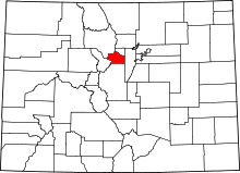 | |
| Towns | ||
| CDPs | ||
| Unincorporated communities | ||
| Ghost towns |
| |
| Footnotes | ‡This populated place also has portions in an adjacent county or counties | |
This article is issued from Wikipedia - version of the 10/14/2016. The text is available under the Creative Commons Attribution/Share Alike but additional terms may apply for the media files.