Eightmile, Oregon
| Eightmile, Oregon | |
|---|---|
| Unincorporated community | |
|
Abandoned building on Oregon Route 206 in Eightmile | |
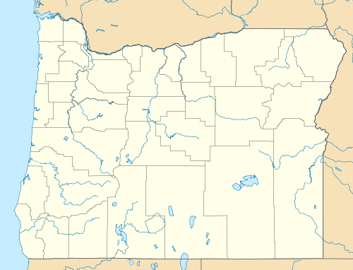  Eightmile, Oregon Location within the state of Oregon | |
| Coordinates: 45°15′19″N 119°48′58″W / 45.25528°N 119.81611°WCoordinates: 45°15′19″N 119°48′58″W / 45.25528°N 119.81611°W | |
| Country | United States |
| State | Oregon |
| County | Morrow |
| Elevation | 2,720 ft (830 m) |
| Time zone | Pacific (UTC-8) |
| • Summer (DST) | Pacific (UTC-7) |
| Area code(s) | 541 |
| GNIS feature ID | 1136248 |
| Coordinates and elevation from Geographic Names Information System[1] | |
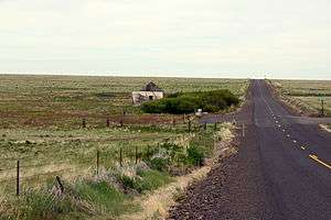
Eightmile is an unincorporated community in Morrow County, Oregon, United States, on Oregon Route 206 (the Wasco–Heppner Highway), at an elevation of 2,720 feet (830 m).[1]
The town was named by pioneer ranchers after its location on Eightmile Canyon, which was so named because its mouth was about 8 miles (13 km) up Willow Creek from the Columbia River.[2][3] Eightmile's post office was established in 1883 and closed in 1941.[3]
References
- 1 2 "Eightmile". Geographic Names Information System. United States Geological Survey. November 28, 1980. Retrieved May 24, 2015.
- ↑ "Confused 'Mile Creeks'". The Bulletin. Bend, Oregon. April 11, 1957. p. 4. Retrieved April 30, 2015.
- 1 2 McArthur, Lewis A.; Lewis L. McArthur (2003) [1928]. Oregon Geographic Names (Seventh ed.). Portland, Oregon: Oregon Historical Society Press. ISBN 0-87595-277-1.
External links
- Historic image of the road between Lonerock and Eightmile from Salem Public Library
Municipalities and communities of Morrow County, Oregon, United States | ||
|---|---|---|
| Cities | 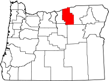 | |
| Unincorporated communities | ||
| Ghost town | ||
This article is issued from Wikipedia - version of the 10/21/2016. The text is available under the Creative Commons Attribution/Share Alike but additional terms may apply for the media files.