Elabbin, Western Australia
| Elabbin Western Australia | |
|---|---|
  Elabbin | |
| Coordinates | 31°13′01″S 118°07′59″E / 31.217°S 118.133°ECoordinates: 31°13′01″S 118°07′59″E / 31.217°S 118.133°E |
| Established | 1913 |
| Postcode(s) | 6490 |
| Elevation | 320 m (1,050 ft) |
| Location | |
| LGA(s) | Shire of Nungarin |
| State electorate(s) | Central Wheatbelt |
| Federal Division(s) | Durack |
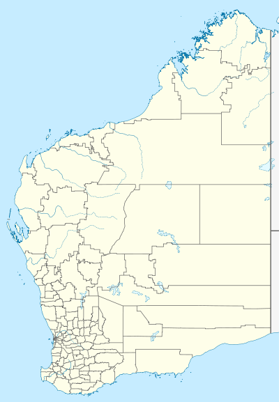
Elabbin is a small town between Merredin and Mukinbudin in the Wheatbelt region of Western Australia.
Originating as a railway siding on the Dowerin to Merredin railway line when constructed in 1912. A demand for land was created by the growth of farming in the area and the town was gazetted in 1913.[1]
Additional agricultural land was opened to selectors in the district close to town in 1917.[2]
The third CBH class locomotive in service for the CBH Group for grain haulage, was named after this locality.
References
- ↑ Western Australian Land Information Authority. "History of country town names – E". Retrieved 2011-04-13.
- ↑ "Selectors Guide - New locations". Sunday Times. Perth: National Library of Australia. 8 April 1917. p. 28. Retrieved 14 April 2011.
This article is issued from Wikipedia - version of the 4/4/2016. The text is available under the Creative Commons Attribution/Share Alike but additional terms may apply for the media files.