Emerald (CDP), Wisconsin
| Emerald, Wisconsin | |
|---|---|
| Census-designated place | |
|
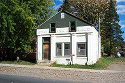
Former bank in Emerald | |
  Emerald, Wisconsin | |
| Coordinates: 45°04′59″N 92°15′30″W / 45.08306°N 92.25833°WCoordinates: 45°04′59″N 92°15′30″W / 45.08306°N 92.25833°W | |
| Country | United States |
| State | Wisconsin |
| County | St. Croix |
| Area | |
| • Total | 1.882 sq mi (4.87 km2) |
| • Land | 1.866 sq mi (4.83 km2) |
| • Water | 0.016 sq mi (0.04 km2) |
| Elevation | 1,152 ft (351 m) |
| Population (2010) | |
| • Total | 161 |
| • Density | 86/sq mi (33/km2) |
| Time zone | Central (CST) (UTC-6) |
| • Summer (DST) | CDT (UTC-5) |
| Area code(s) | 715 & 534 |
| GNIS feature ID | 1581627[1] |
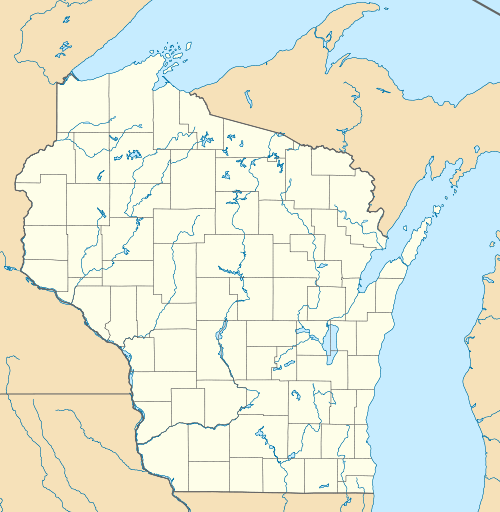
Emerald is an unincorporated census-designated place in St. Croix County, Wisconsin, United States. Emerald is located in the towns of Emerald and Glenwood, 4.5 miles (7.2 km) west-northwest of Glenwood City. As of the 2010 census, its population was 161.[2]
History
A post office called Emerald was established in 1872, and remained in operation until it was discontinued in 1985.[3] The community took its name from the Town of Emerald.[4]
References
- ↑ U.S. Geological Survey Geographic Names Information System: Emerald (CDP), Wisconsin
- ↑ "American FactFinder". U.S. Census Bureau. Retrieved 3 April 2011.
- ↑ "Saint Croix County". Jim Forte Postal History. Retrieved 3 April 2015.
- ↑ Chicago and North Western Railway Company (1908). A History of the Origin of the Place Names Connected with the Chicago & North Western and Chicago, St. Paul, Minneapolis & Omaha Railways. p. 175.
Municipalities and communities of St. Croix County, Wisconsin, United States | ||
|---|---|---|
| Cities |  | |
| Villages | ||
| Towns | ||
| CDPs | ||
| Unincorporated communities | ||
| Footnotes | ‡This populated place also has portions in an adjacent county or counties | |
This article is issued from Wikipedia - version of the 10/22/2016. The text is available under the Creative Commons Attribution/Share Alike but additional terms may apply for the media files.