Emory, Virginia
| Emory | |
|---|---|
| CDP | |
|
The Post Office in Emory, Virginia | |
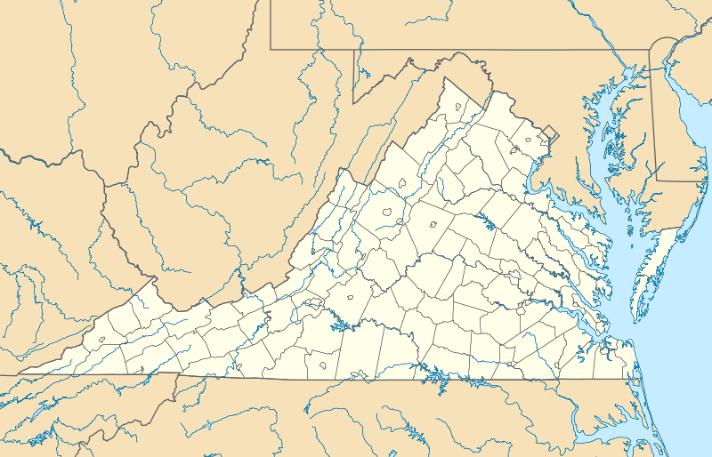  Emory Location within the Commonwealth of Virginia | |
| Coordinates: 36°47′19″N 81°49′43″W / 36.78861°N 81.82861°WCoordinates: 36°47′19″N 81°49′43″W / 36.78861°N 81.82861°W | |
| Country | United States |
| State | Virginia |
| County | Washington |
| Time zone | Eastern (EST) (UTC-5) |
| • Summer (DST) | EDT (UTC-4) |
| ZIP codes | 24327, 24340, 24361 |
| FIPS code | 51-25792 |
| GNIS feature ID | 2584842 |
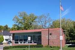
Emory is a census-designated place (CDP) in Washington County, Virginia, United States. The population was 1,251 at the 2010 census.[1] It is part of the Kingsport–Bristol (TN)–Bristol (VA) Metropolitan Statistical Area, which is a component of the Johnson City–Kingsport–Bristol, TN-VA Combined Statistical Area – commonly known as the "Tri-Cities" region.
The Emory post office was established in 1847.[2] The community is named for and is the location of Emory and Henry College.[3]
References
- ↑ Virginia Trend Report 2: State and Complete Places (Sub-state 2010 Census Data). Missouri Census Data Center. Accessed 2011-06-08.
- ↑ "Washington County". Jim Forte Postal History. Retrieved 30 September 2014.
- ↑ Gannett, Henry (1905). The Origin of Certain Place Names in the United States. Govt. Print. Off. p. 119.
External links
Municipalities and communities of Washington County, Virginia, United States | ||
|---|---|---|
| Towns | 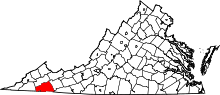 | |
| CDPs | ||
| Unincorporated communities | ||
| Footnotes | ‡This populated place also has portions in an adjacent county or counties | |
This article is issued from Wikipedia - version of the 10/15/2016. The text is available under the Creative Commons Attribution/Share Alike but additional terms may apply for the media files.