Excello, Missouri
| Excello, Missouri | |
|---|---|
| CDP | |
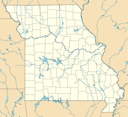  Excello, Missouri Location of Excello, Missouri | |
| Coordinates: 39°38′10″N 92°28′32″W / 39.63611°N 92.47556°WCoordinates: 39°38′10″N 92°28′32″W / 39.63611°N 92.47556°W | |
| Country | United States |
| State | Missouri |
| County | Macon County |
| Area | |
| • Total | 0.34 sq mi (0.89 km2) |
| Elevation | 863 ft (263 m) |
| Population (2010)[1] | |
| • Total | 49 |
| • Density | 140/sq mi (55/km2) |
| Time zone | Pacific (PST) (UTC-6) |
| • Summer (DST) | PDT (UTC-5) |
| Area code(s) | 660 |
Excello is a census designated place (CDP) in southern Macon County, Missouri, United States.[1] It is located about eight miles south of Macon, Missouri and about fifteen miles north of Moberly one-half mile west of U.S. Route 63 on State Road T.
An early variant name was "Emerson".[2] A post office called Excello has been in operation since 1869.[3]
References
- 1 2 "American FactFinder". United States Census Bureau. Retrieved 2011-05-14.
- ↑ "Macon County Place Names, 1928–1945". The State Historical Society of Missouri. Archived from the original on June 24, 2016. Retrieved October 30, 2016.
- ↑ "Post Offices". Jim Forte Postal History. Retrieved 30 October 2016.
Municipalities and communities of Macon County, Missouri, United States | ||
|---|---|---|
| Cities | 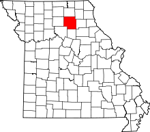 | |
| Townships | ||
| CDP | ||
| Other unincorporated communities | ||
| Ghost towns | ||
This article is issued from Wikipedia - version of the 10/30/2016. The text is available under the Creative Commons Attribution/Share Alike but additional terms may apply for the media files.