Failford, New South Wales
| Failford New South Wales | |||||||
|---|---|---|---|---|---|---|---|
  Failford | |||||||
| Coordinates | 32°05′05″S 152°26′39″E / 32.08472°S 152.44417°ECoordinates: 32°05′05″S 152°26′39″E / 32.08472°S 152.44417°E | ||||||
| Population | 495 (2011 census)[1] | ||||||
| • Density | 31.8/km2 (82/sq mi) | ||||||
| Postcode(s) | 2430 | ||||||
| Area | 15.6 km2 (6.0 sq mi)[2] | ||||||
| Time zone | AEST (UTC+10) | ||||||
| • Summer (DST) | AEDT (UTC+11) | ||||||
| Location | |||||||
| LGA(s) | Mid-Coast Council[3] | ||||||
| Region | Mid North Coast | ||||||
| County | Gloucester[4] | ||||||
| Parish | Tuncurry[4] | ||||||
| State electorate(s) | Myall Lakes[5] | ||||||
| Federal Division(s) | Paterson[6] | ||||||
| |||||||
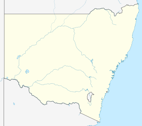
Failford is a locality in the Mid-Coast Council local government area on the Mid North Coast of New South Wales, Australia.[3][4][8] Located to the east of the Pacific Highway, Failford is about 15 km (9 mi) northwest of Forster. At the 2011 census it had a population of 495.[1]
Failford is a water skiing and boating location with the nearby Wallamba River, which runs between Nabiac and Tuncurry. It has a number of attractions, including the Terracotta Tea House, the Little Darlings Doll Museum and Coffee Shop, and the "Ton o Fun" amusement park which offers waterslides, bumper boats, go-karts and many other activities.
References
- 1 2 Australian Bureau of Statistics (31 October 2012). "Failford (State Suburb)". 2011 Census QuickStats. Retrieved 27 October 2012.
- ↑ Australian Bureau of Statistics (31 October 2012). "2011 Community Profiles: Failford (State Suburb)". 2011 Census of Population and Housing. Retrieved 27 October 2012.
- 1 2 "Suburb Search - Local Council Boundaries - Hunter (HT) - Great Lakes Council". New South Wales Division of Local Government. Retrieved 27 October 2012.
- 1 2 3 "Failford". Geographical Names Register (GNR) of NSW. Geographical Names Board of New South Wales. Retrieved 27 October 2012.
- ↑ "Myall Lakes". New South Wales Electoral Commission. 24 September 2012. Retrieved 27 October 2012.
- ↑ "Paterson". Australian Electoral Commission. 26 July 2012. Retrieved 27 October 2012.
- 1 2 3 "Forster-Tuncurry Marine Rescue". Climate statistics for Australian locations. Bureau of Meteorology. Retrieved 27 October 2012.
- ↑ "Failford". Land and Property Management Authority - Spatial Information eXchange. New South Wales Land and Property Information. Retrieved 27 October 2012.
This article is issued from Wikipedia - version of the 7/26/2016. The text is available under the Creative Commons Attribution/Share Alike but additional terms may apply for the media files.