Fernside, New Zealand
| Fernside | |
|---|---|
| Rural Area | |
|
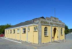
Memorial hall and community centre | |
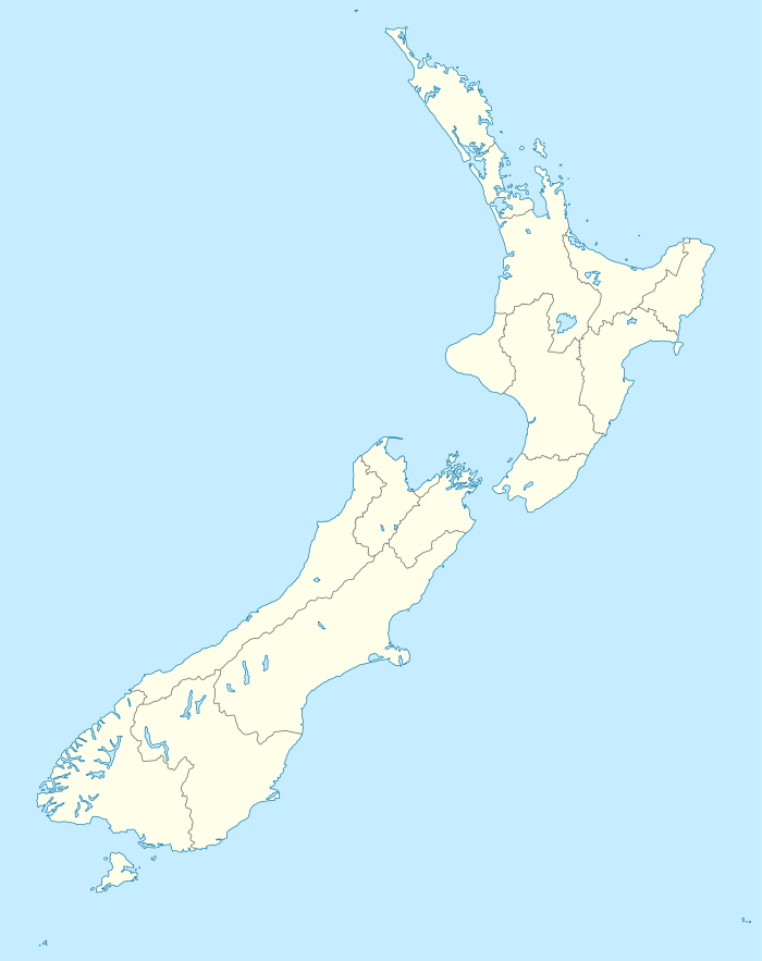  Fernside | |
| Coordinates: 43°19′S 172°32′E / 43.31°S 172.54°ECoordinates: 43°19′S 172°32′E / 43.31°S 172.54°E | |
| Country |
 New Zealand New Zealand |
| Region | Canterbury |
| Territorial authority | Waimakariri District |
| Electorates |
Waimakariri Te Tai Tonga (Maori electorate)[1] |
| Time zone | NZST (UTC+12) |
| • Summer (DST) | NZDT (UTC+13) |
| Postcode | 7471 |
| Area code(s) | 03 |
Fernside is a small rural community in the Waimakariri District, New Zealand. In 1901, Fernside had (with its neighbourhood) a population of 550.[2] As of the 2006 New Zealand Census, Fernside has a population of 1491.[3]
Education
Fernside School is Fernside's only school, and was established in 1864.[4] It is a decile 10 state co-educational full primary, with 280 students (as of July 2016).[5] The principal is David Taylor.
Climate
The average temperature in summer is 16.2, and in winter is 6.4.[6]
| Month | Normal temperature |
|---|---|
| January | 16.7 °C |
| February | 16.3 °C |
| March | 15.0 °C |
| April | 12.1 °C |
| May | 8.8 °C |
| June | 6.3 °C |
| July | 5.8 °C |
| August | 7.1 °C |
| September | 9.4 °C |
| October | 11.4 °C |
| November | 13.5 °C |
| December | 15.5 °C |
References
- ↑ http://www.elections.org.nz/mapping/
- ↑ "FERNSIDE". THE CYCLOPEDIA OF NEW ZEALAND. Retrieved 29 November 2013.
- ↑ "Interactive Boundary Maps". Statistics New Zealand. Retrieved 29 November 2013.
- ↑ "Fernside School". Retrieved 29 November 2013.
- ↑ "Directory of Schools - as at 2 August 2016". New Zealand Ministry of Education. Retrieved 2016-08-16.
- ↑ "Weather statistics for Fernside, Canterbury (New Zealand)". yr.no. Retrieved 29 November 2013.
External links
 Media related to Fernside, New Zealand at Wikimedia Commons
This article is issued from Wikipedia - version of the 11/14/2016. The text is available under the Creative Commons Attribution/Share Alike but additional terms may apply for the media files.