Galga, South Australia
| Galga South Australia | |||||||||||||
|---|---|---|---|---|---|---|---|---|---|---|---|---|---|
  Galga | |||||||||||||
| Coordinates | 34°41′46″S 139°57′36″E / 34.696°S 139.96°ECoordinates: 34°41′46″S 139°57′36″E / 34.696°S 139.96°E | ||||||||||||
| Established | 1915 | ||||||||||||
| Postcode(s) | 5308 | ||||||||||||
| Elevation | 70 m (230 ft) | ||||||||||||
| Location |
| ||||||||||||
| LGA(s) | |||||||||||||
| State electorate(s) | Chaffey | ||||||||||||
| Federal Division(s) | Barker | ||||||||||||
| |||||||||||||
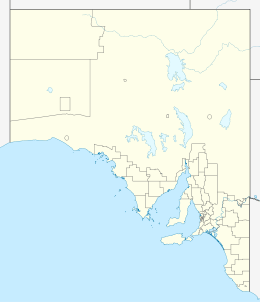
Galga is a settlement in the northern Murray Mallee region of South Australia.[1] The town of Galga was surveyed in 1915[2] after the Waikerie railway line from Karoonda to Waikerie was opened in 1914. The line was shortend to Galga in 1990, and closed completely in 1994. There is a small bulk grain silo at Galga, but it is no longer regularly used.[3] Galga has an active Country Fire Service brigade with one fire truck.[4]
References
- ↑ "2905.0 - Statistical Geography: Volume 2 -- Census Geographic Areas, Australia, 2006". Australian Bureau of Statistics. Retrieved 8 December 2009.
- ↑ "Placename Details: Galga". Property Location Browser (LOCB). Government of South Australia. 4 March 2010. SA0025354. Retrieved 21 October 2016.
- ↑ "Available storage capacity, including the number of segregations made available during harvest", 2010.11 post harvest review working group report (PDF), Viterra, p. 16, retrieved 21 October 2016
- ↑ "SA Country Fire Service Station – Galga and District". South Australian Country Fire Service. 4 February 2016. Retrieved 16 October 2016.
This article is issued from Wikipedia - version of the 10/21/2016. The text is available under the Creative Commons Attribution/Share Alike but additional terms may apply for the media files.