Germán Olano Airport
| Germán Olano Airport Aeropuerto Germán Olano | |||||||||||
|---|---|---|---|---|---|---|---|---|---|---|---|
| IATA: PCR – ICAO: SKPC | |||||||||||
| Summary | |||||||||||
| Airport type | Public | ||||||||||
| Serves | Puerto Carreño, Colombia | ||||||||||
| Elevation AMSL | 53 m / 173 ft | ||||||||||
| Coordinates | 06°11′04″N 067°29′35″W / 6.18444°N 67.49306°W | ||||||||||
| Map | |||||||||||
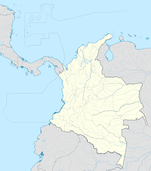  PCR Location of airport in Colombia | |||||||||||
| Runways | |||||||||||
| |||||||||||
Germán Olano Airport[2] (Spanish: Aeropuerto Germán Olano) (IATA: PCR[3], ICAO: SKPC) is an airport located 1 kilometre (0.5 NM) from Puerto Carreño,[1] the capital of the Vichada department in Colombia. It is also known as Puerto Carreño Airport (Aeropuerto Puerto Carreño).[1]
Facilities
The airport lies at an elevation of 52.6 metres (173 ft) above mean sea level. It has one runway designated 07/25 with an asphalt surface measuring 1,800 by 30 metres (5,906 ft × 98 ft).[1]
Airlines and destinations
| Airlines | Destinations |
|---|---|
| SATENA | Bogota, Villavicencio |
References
- 1 2 3 4 "SKPC - PUERTO CARREÑO / German Olano" (PDF). (543 KB). AIP Colombia. Unidad Administrativa Especial de Aeronáutica Civil. 27 Aug 2009.
- ↑ (Spanish) Aeródromos controlados. Unidad Administrativa Especial de Aeronáutica Civil (UAEAC). Accessed 16 October 2009.
- ↑ Airport information for PCR at Great Circle Mapper.
External links
This article is issued from Wikipedia - version of the 11/27/2016. The text is available under the Creative Commons Attribution/Share Alike but additional terms may apply for the media files.