Glen Dean, Kentucky
| Glen Dean, Kentucky | |
|---|---|
| Unincorporated community | |
  Glen Dean, Kentucky | |
| Coordinates: 37°39′12″N 86°32′28″W / 37.65333°N 86.54111°WCoordinates: 37°39′12″N 86°32′28″W / 37.65333°N 86.54111°W | |
| Country | United States |
| State | Kentucky |
| County | Breckinridge |
| Elevation | 479 ft (146 m) |
| Time zone | Central (CST) (UTC-6) |
| • Summer (DST) | CDT (UTC-5) |
| Area code(s) | 270 |
| GNIS feature ID | 492886[1] |
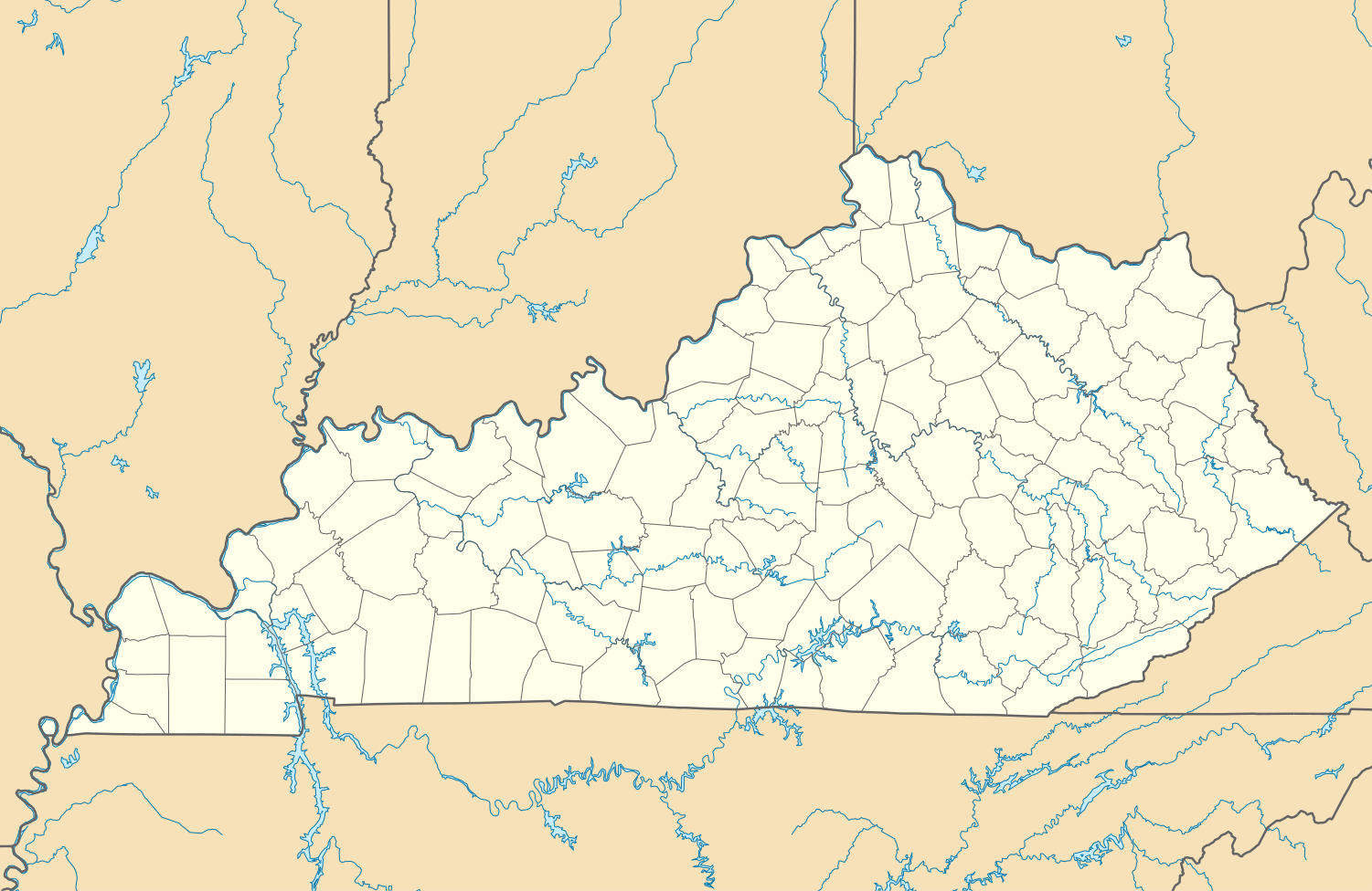
Glen Dean is an unincorporated community in Breckinridge County, Kentucky, United States. Glen Dean is located at the west end of Kentucky Route 108, 9.8 miles (15.8 km) south-southwest of Hardinsburg.[2] Glen Dean had a post office until it closed on June 22, 1991.[3]
The place name Glen Dean comes from the Scottish words glen, meaning a narrow valley, and dean, also meaning valley.[4]
It has also been reported that Glen Dean was named for William Johnson Dean, who was the owner of 2,700 acres.[5]
The last wild turkey in Breckinridge County was killed in the late 1800s near the site of the first Goshen Baptist Church, located in Glen Dean.
References
- ↑ "Glen Dean". Geographic Names Information System. United States Geological Survey.
- ↑ State Primary Road System: Breckinridge County (PDF) (Map). Kentucky Transportation Cabinet. 2012. Retrieved January 5, 2013.
- ↑ "Postmaster Finder - Post Offices by ZIP Code". United States Postal Service. Retrieved January 5, 2013.
- ↑ Rennick, Robert M. (1987). Kentucky Place Names. University Press of Kentucky. p. 117. Retrieved 2013-04-28.
- ↑ Breckinridge Bicentennial Committee Program. Accessed from Breckinridge Historical Archives.
Municipalities and communities of Breckinridge County, Kentucky, United States | ||
|---|---|---|
| Cities |  | |
| Unincorporated communities | ||
| Footnotes | ‡This populated place also has portions in an adjacent county or counties | |
This article is issued from Wikipedia - version of the 10/11/2016. The text is available under the Creative Commons Attribution/Share Alike but additional terms may apply for the media files.