Gobbagombalin, New South Wales
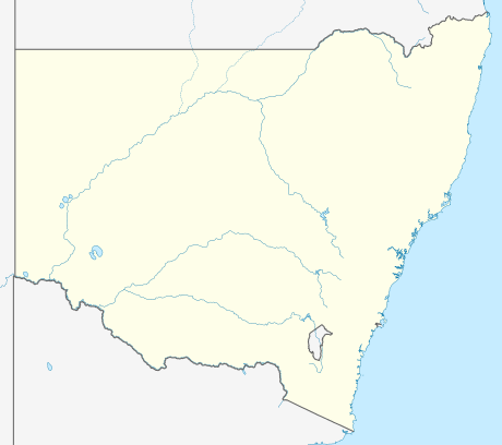

Gobbagombalin is a farming community in the central east part of the Riverina and a suburb of Wagga Wagga.[1] A portion of Gobbagombalin adjacent to Estella and to the North of Old Narrandera Road was rezoned for residential purposes under the Wagga Wagga Local Environmental Plan 2010 in July 2010,[2] however, suburban development of area has yet to commence.
Streets in the future suburban area of Gobbagombalin will be named after Riverina parish names.[3]
Notes and references
- ↑ "Gobbagombalin". Geographical Names Register (GNR) of NSW. Geographical Names Board of New South Wales. Retrieved 12 December 2010.
- ↑ NSW Government. "Wagga Wagga Local Environmental Plan 2010". Retrieved 2011-11-26.
- ↑ Wagga Wagga City Council (2009). Planning Standing Committee May Business Paper (PDF). p. 21.
This article is issued from Wikipedia - version of the 5/8/2016. The text is available under the Creative Commons Attribution/Share Alike but additional terms may apply for the media files.