Guaíra, Paraná
| Guaíra | |
|---|---|
| Municipality | |
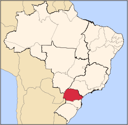
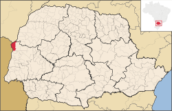 Location in Paraná state | |
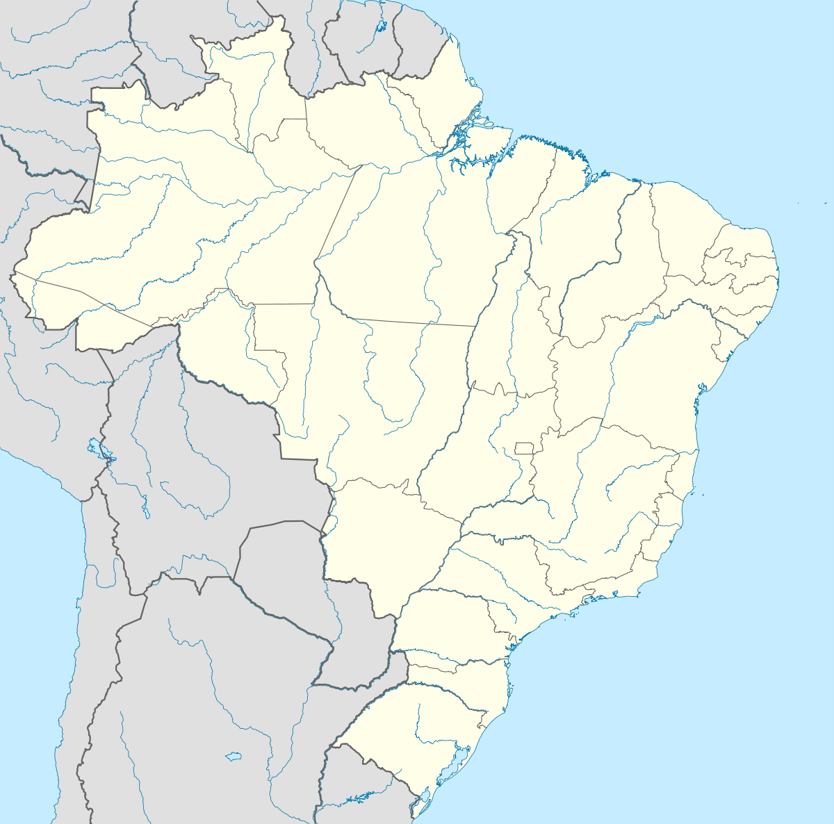  Guaíra Location in Brazil | |
| Coordinates: 24°4′48″S 54°15′21″W / 24.08000°S 54.25583°WCoordinates: 24°4′48″S 54°15′21″W / 24.08000°S 54.25583°W | |
| Country |
 Brazil Brazil |
| Region | South Region |
| State | Paraná |
| Mesoregion | Oeste Paranaense |
| Area | |
| • Total | 560 km2 (220 sq mi) |
| Population (2015) | |
| • Total | 32,591 |
| • Density | 58/km2 (150/sq mi) |
| Time zone | BRT/BRST (UTC-3/-2) |
Guaíra is a municipality in the state of Paraná in the Southern Region of Brazil.[1] The population is 32,591 (2015 est.) in an area of 560 km².[2] The elevation is 517 m. This place name comes from the Tupi language and means "place difficult to access". The city is served by Guaíra Airport.
References
- ↑ "Divisão Territorial do Brasil" (in Portuguese). Divisão Territorial do Brasil e Limites Territoriais, Instituto Brasileiro de Geografia e Estatística (IBGE). July 1, 2008. Retrieved December 17, 2009.
- ↑ Instituto Brasileiro de Geografia e Estatística
This article is issued from Wikipedia - version of the 5/15/2016. The text is available under the Creative Commons Attribution/Share Alike but additional terms may apply for the media files.