Gutiérrez Zamora
| Gutiérrez Zamora | |
|---|---|
| Municipality | |
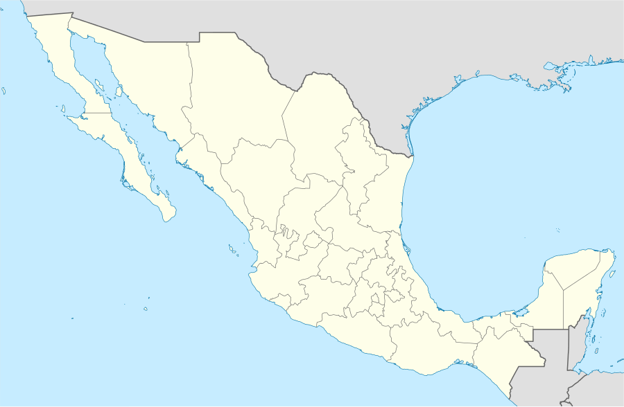  Gutiérrez Zamora Location within Mexico | |
| Coordinates: 20°27′N 97°05′W / 20.450°N 97.083°W | |
| Country |
 Mexico Mexico |
| State | Veracruz |
| Foundation | July 21, 1877 |
| Government | |
| • Municipal President | Jaime Humberto Pérez Bernabe |
| Area | |
| • Total | 233.6 km2 (90.2 sq mi) |
| Population | |
| • Total | 24 322 |
| • Density | 104.12/km2 (269.7/sq mi) |
| Time zone | CST (UTC-6) |
| • Summer (DST) | CDT (UTC-7) |
| Website | Official Website |
Gutiérrez Zamora is a city in the Mexican state of Veracruz. Gutiérrez Zamora is bordered by Papantla, Tuxpan, Poza Rica and Coatzintla, and it is served by both the railway and Federal Highways 180 and 190.
It was named in honour of Manuel Gutiérrez Zamora, a native of the port of Veracruz who served as governor of the state in the mid-19th century.
External links
- (Spanish) Municipal Official Site
- (Spanish) Municipal Official Information
Coordinates: 20°27′12″N 97°05′14″W / 20.4533333433°N 97.0872222322°W

This article is issued from Wikipedia - version of the 11/25/2013. The text is available under the Creative Commons Attribution/Share Alike but additional terms may apply for the media files.