Háng Lìa
| Háng Lìa | |
|---|---|
| Commune and village | |
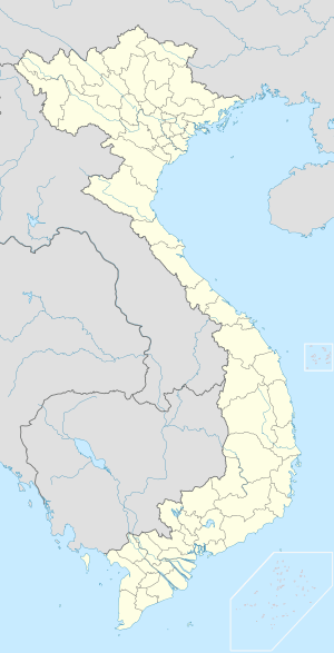  Háng Lìa Location in Vietnam | |
| Coordinates: 21°11′5″N 103°20′18″E / 21.18472°N 103.33833°E | |
| Country |
 Vietnam Vietnam |
| Province | Điện Biên |
| District | Điện Biên Đông |
| Area | |
| • Total | 65.63 km2 (25.34 sq mi) |
| Population | |
| • Total | 2,336 |
| Time zone | Indochina Time (UTC+07:00) |
Háng Lìa is a commune (xã) and village of the Điện Biên Đông District of Điện Biên Province, northwestern Vietnam.[1] It lies to the southeast of Điện Biên Đông town. The commune covers an area of 65.63 square kilometres and has a reported population of 2336.[2]
References
- ↑ Vietnam. Tổng cục thống kê (2004). Danh mục các đơn vị hành chính Việt Nam, 2004: ban hành theo QĐ số 124/2004/QĐ-TTg ngày 8/7/2004 của Thủ tướng Chính phủ. Nhà xuất bản Thống kê. p. 57. Retrieved 11 October 2011.
- ↑ "Xã Háng Lìa". Vietgle. Retrieved 11 October 2011.
Capital: Điện Biên Phủ | ||
| Điện Biên Phủ | 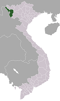 | |
| Mường Lay | ||
| Điện Biên | ||
| Điện Biên Đông | ||
| Mường Chà | ||
| Mường Nhé | ||
| Tủa Chùa | ||
| Tuần Giáo | ||
This article is issued from Wikipedia - version of the 10/11/2016. The text is available under the Creative Commons Attribution/Share Alike but additional terms may apply for the media files.