Höchberg
| Höchberg | ||
|---|---|---|
| ||
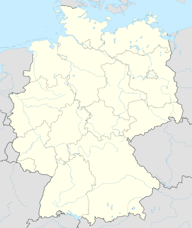  Höchberg | ||
Location of Höchberg within Würzburg district 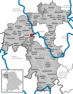 | ||
| Coordinates: 49°46′59″N 09°52′54″E / 49.78306°N 9.88167°ECoordinates: 49°46′59″N 09°52′54″E / 49.78306°N 9.88167°E | ||
| Country | Germany | |
| State | Bavaria | |
| Admin. region | Unterfranken | |
| District | Würzburg | |
| Government | ||
| • Mayor | Peter Stichler (SPD) | |
| Area | ||
| • Total | 7.55 km2 (2.92 sq mi) | |
| Population (2015-12-31)[1] | ||
| • Total | 9,329 | |
| • Density | 1,200/km2 (3,200/sq mi) | |
| Time zone | CET/CEST (UTC+1/+2) | |
| Postal codes | 97204 | |
| Dialling codes | 0931 | |
| Vehicle registration | WÜ | |
| Website | www.hoechberg.de | |

Höchberg is a municipality in the district of Würzburg in Bavaria, Germany. Höchberg borders, in the east, directly on the city of Würzburg. Höchberg consists of two main urban areas: Altort and Hexenbruch. Residential construction areas have been added in recent years, for example "Mehle" and " Mehle II".
History
The earliest recorded official reference to Höchberg dates from 748.
Jewish families resided in Höchberg at least since the late 1600s. They established a Jewish cemetery and erected a synagogue in 1721, which was plundered in the November pogrom in 1938 by SA members. Since 1951, the building has served as a Protestant church. Today, a plaque at the church entry and a monument at the Jewish cemetery commemorate these facts.[2]
References
- ↑ "Fortschreibung des Bevölkerungsstandes". Bayerisches Landesamt für Statistik und Datenverarbeitung (in German). June 2016.
- ↑ Gedenkstätten für die Opfer des Nationalsozialismus. Eine Dokumentation, Band 1. Bundeszentrale für politische Bildung, Bonn 1995, ISBN 3-89331-208-0, S. 147

This article is issued from Wikipedia - version of the 11/11/2016. The text is available under the Creative Commons Attribution/Share Alike but additional terms may apply for the media files.