Höfen an der Enz
| Höfen an der Enz | ||
|---|---|---|
| ||
  Höfen an der Enz | ||
Location of Höfen an der Enz within Calw district 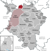
 | ||
| Coordinates: 48°48′12″N 8°35′3″E / 48.80333°N 8.58417°ECoordinates: 48°48′12″N 8°35′3″E / 48.80333°N 8.58417°E | ||
| Country | Germany | |
| State | Baden-Württemberg | |
| Admin. region | Karlsruhe | |
| District | Calw | |
| Government | ||
| • Mayor | Holger Buchelt | |
| Area | ||
| • Total | 9.08 km2 (3.51 sq mi) | |
| Population (2015-12-31)[1] | ||
| • Total | 1,725 | |
| • Density | 190/km2 (490/sq mi) | |
| Time zone | CET/CEST (UTC+1/+2) | |
| Postal codes | 75339 | |
| Dialling codes | 07081 | |
| Vehicle registration | CW | |
| Website | www.hoefen-enz.de | |

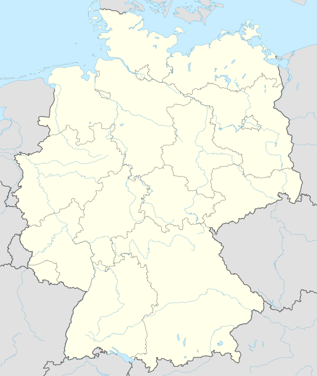
Höfen or Höfen an der Enz is a municipality in Calw district, in the region of Karlsruhe of Baden-Württemberg in Germany. Höfen is located on the River Enz at the northern edge of the Black Forest. It is located where street L 343 intersects with street B 294 (Gundelfingen - Bretten).
Geography
Enztal is located in the northern Black Forest at an altitude of 360-712 meters, below the confluence of the big Enz and the small Enz. The community area is forested to 85%.
History
The first recorded name of the place is "zum Hof" (locus dictus at zum hofe in a deed dated July 26, 1376), zu den Höfen. To Württemberg came Höfen together with Neuenbürg. Previously managed by a lawyer, the place became its own municipality administration unit (Schultheißenamt) and an independent municipality in the mid of the 19th century.
Religions
Since the Reformation Höfen is Protestant coined; Roman Catholic believers are supervised by Bad Wildbad.
Transportation
By the Enz Valley Railway (Pforzheim -Bad Wildbad), Höfen is today connected by the line S 6 of the Karlsruhe Stadtbahn to the national rail network. The town has two stops, "Höfen an der Enz" and "Höfen an der Enz Nord". [2]
Höfen is situated on the road B294 (Bretten -Pforzheim- Freiburg), the nearest Autobahn is Pforzheim junction of the Bundesautobahn 8.
Education
There is a primary school in Höfen. Older pupils are taught in the neighboring villages.
Towns and municipalities in Calw (district) | ||
|---|---|---|
 | ||
References
- ↑ "Gemeinden in Deutschland nach Fläche, Bevölkerung und Postleitzahl am 30.09.2016". Statistisches Bundesamt (in German). 2016.
- ↑ Eisenbahnatlas Deutschland. Verlag Schweers + Wall GmbH. 2009. p. 93. ISBN 978-3-89494-139-0.