Hardscrabble, Virginia
| Hardscrabble, Virginia | |
|---|---|
| Unincorporated community | |
|
Aerial view of Hardscrabble, Virginia | |
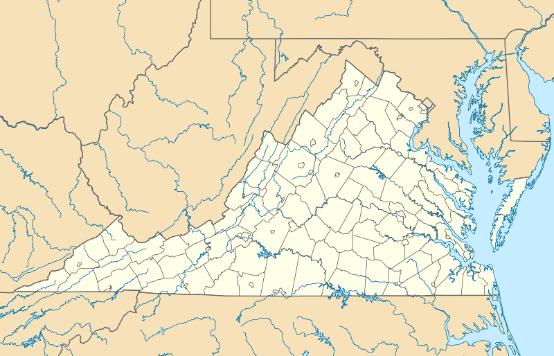  Hardscrabble, Virginia  Hardscrabble, Virginia | |
| Coordinates: 38°33′41″N 79°34′23″W / 38.56139°N 79.57306°WCoordinates: 38°33′41″N 79°34′23″W / 38.56139°N 79.57306°W | |
| Country | United States |
| State | Virginia |
| County | Highland |
| Elevation | 2,566 ft (782 m) |
| Time zone | Eastern (EST) (UTC-5) |
| • Summer (DST) | EDT (UTC-4) |
| ZIP code | 24413 |
| Area code(s) | 540 |
| GNIS feature ID | 1499527[1] |
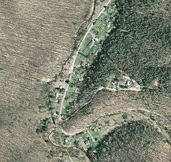
Hardscrabble is an unincorporated community in Highland County, Virginia, United States. Hardscabble is located 10.3 miles (16.6 km) north of Monterey, Virginia near the border with West Virginia.[2] The community is situated along the Straight Fork in the Alleghany Valley.[3][4]
References
- ↑ "Hardscrabble". Geographic Names Information System. United States Geological Survey.
- ↑ Google (15 December 2012). "Hardscrabble, Virginia" (Map). Google Maps. Google. Retrieved 15 December 2012.
- ↑ "The National Map". United States Geological Survey. Retrieved February 16, 2014.
- ↑ Morton, Oren Frederic (1911). A History of Highland County, Virginia. p. 11.
Municipalities and communities of Highland County, Virginia, United States | ||
|---|---|---|
| Town | 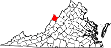 | |
| Unincorporated communities | ||
| Footnotes | ‡This populated place also has portions in an adjacent county or counties | |
This article is issued from Wikipedia - version of the 11/8/2016. The text is available under the Creative Commons Attribution/Share Alike but additional terms may apply for the media files.