Hardyville, Kentucky
| Hardyville | |
|---|---|
| Unincorporated community & census-designated place | |
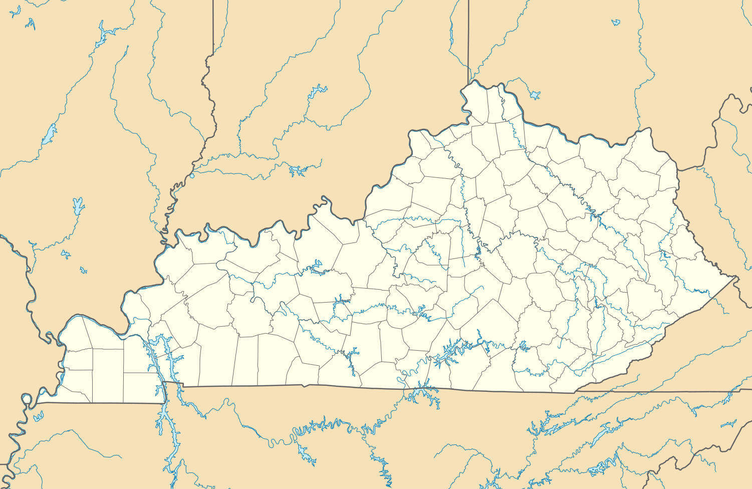  Hardyville  Hardyville Location within the state of Kentucky | |
| Coordinates: 37°15′15″N 85°47′10″W / 37.25417°N 85.78611°WCoordinates: 37°15′15″N 85°47′10″W / 37.25417°N 85.78611°W | |
| Country | United States |
| State | Kentucky |
| County | Hart |
| Elevation | 702 ft (214 m) |
| Time zone | Central (CST) (UTC-6) |
| • Summer (DST) | CST (UTC-5) |
| Area code(s) | 270 & 364 |
| GNIS feature ID | 493738[1] |
Hardyville is a small unincorporated community and census-designated place (CDP) in Hart County, Kentucky, United States, located east of Munfordville on U.S. Route 31E.
A post office was established in the community in 1868.[2] It was named in honor of a series of popular stump speeches given at the crossroads during the 1850s by local politician James Greene Hardy, Lieutenant Governor of Kentucky from 1855–1856.
References
- ↑ U.S. Geological Survey Geographic Names Information System: Hardyville, Kentucky
- ↑ Rennick, Robert M. (1987). Kentucky Place Names. University Press of Kentucky. pp. 131–132. Retrieved 2013-04-28.
Municipalities and communities of Hart County, Kentucky, United States | ||
|---|---|---|
| Cities |  | |
| CDP | ||
| Other unincorporated communities | ||
This article is issued from Wikipedia - version of the 10/11/2016. The text is available under the Creative Commons Attribution/Share Alike but additional terms may apply for the media files.