Herrerías
| Herrerías | ||
|---|---|---|
| Municipality | ||
| ||
_Mapa.svg.png) Location of Herrerías | ||
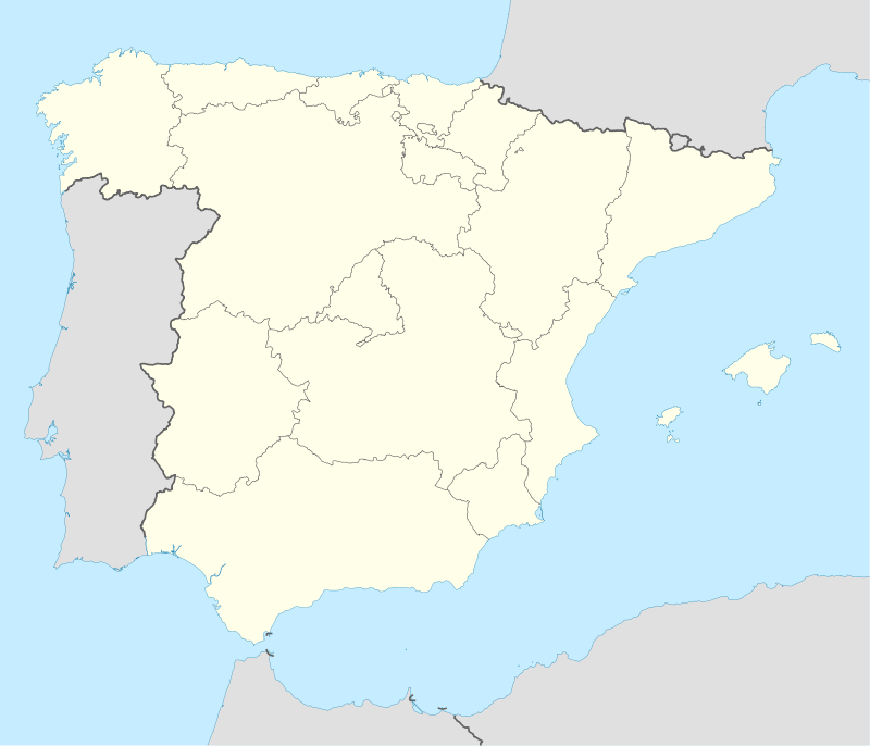  Herrerías Location in Spain | ||
| Coordinates: 43°18′56″N 4°27′53″W / 43.31556°N 4.46472°WCoordinates: 43°18′56″N 4°27′53″W / 43.31556°N 4.46472°W | ||
| Country |
 Spain Spain | |
| Autonomous community |
 Cantabria Cantabria | |
| Province | Cantabria | |
| Comarca | Western coast of Cantabria | |
| Judicial district | San Vicente de la Barquera | |
| Capital | Bielva | |
| Government | ||
| • Alcalde | Juan Francisco Linares Buenaga (2007) (PRC) | |
| Area | ||
| • Total | 40.34 km2 (15.58 sq mi) | |
| Elevation | 188 m (617 ft) | |
| Population (2008) | ||
| • Total | 669 | |
| • Density | 17/km2 (43/sq mi) | |
| Time zone | CET (UTC+1) | |
| • Summer (DST) | CEST (UTC+2) | |
| Website | Official website | |
Herrerías (Spanish pronunciation: [e.re.ˈɾi.as]) is a municipality located in the autonomous community of Cantabria, Spain. According to the 2007 census, the city has a population of 715 inhabitants.
Towns
- Bielva (capital)
- Cabanzón
- Cades
- Camijanes
- Casamaría
- Puente el Arrudo
- Rábago
External links
- Herrerías - Cantabria 102 Municipios
.jpg)
Entrance to the Cave of El Soplau. Herrerías (Cantabria).
This article is issued from Wikipedia - version of the 4/16/2016. The text is available under the Creative Commons Attribution/Share Alike but additional terms may apply for the media files.