Hoyt, Oklahoma
| Hoyt, Oklahoma | |
|---|---|
| Unincorporated community | |
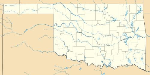  Hoyt, Oklahoma | |
| Coordinates: 35°16′18″N 95°18′08″W / 35.27167°N 95.30222°WCoordinates: 35°16′18″N 95°18′08″W / 35.27167°N 95.30222°W | |
| Country | United States |
| State | Oklahoma |
| County | Haskell |
| Elevation | 574 ft (175 m) |
| Time zone | Central (CST) (UTC-6) |
| • Summer (DST) | CDT (UTC-5) |
| ZIP code | 74440 |
| Area code(s) | 918 & 539 |
| GNIS feature ID | 1093989[1] |
Hoyt is an unincorporated community in Haskell County, Oklahoma, United States.[1] The community is 3.9 miles (6.3 km) west-northwest of Whitefield. Hoyt had a post office until it closed on April 17, 2004; it still has its own ZIP code, 74440.[2][3]
It is home to the Hoyt School, which is no longer in use, but has been nominated for classification as an official Oklahoma landmark.[4]
References
- 1 2 "Hoyt". Geographic Names Information System. United States Geological Survey.
- ↑ United States Postal Service. "USPS - Look Up a ZIP Code". Retrieved January 23, 2016.
- ↑ "Postmaster Finder - Post Offices by ZIP Code". United States Postal Service. Retrieved January 23, 2016.
- ↑ "Oklahoma Landmarks Nomination Inventory" (PDF). Government of the State of Oklahoma. Retrieved January 23, 2016.
Municipalities and communities of Haskell County, Oklahoma, United States | ||
|---|---|---|
| City | 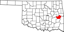 | |
| Towns | ||
| Unincorporated communities | ||
This article is issued from Wikipedia - version of the 1/23/2016. The text is available under the Creative Commons Attribution/Share Alike but additional terms may apply for the media files.