Huzzah, Missouri
| Huzzah, Missouri | |
|---|---|
| Unincorporated community | |
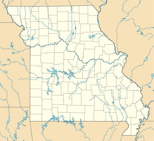  Huzzah Location in the state of Missouri | |
| Coordinates: 37°54′16″N 91°09′28″W / 37.90444°N 91.15778°WCoordinates: 37°54′16″N 91°09′28″W / 37.90444°N 91.15778°W[1] | |
| Country | U. S. A. |
| State | Missouri |
| County | Crawford County |
| Elevation[1] | 227 m (745 ft) |
| Time zone | CST (UTC-6) |
| • Summer (DST) | CDT (UTC-5) |
Huzzah is an unincorporated community in eastern Crawford County, Missouri, United States. It is located 11.6 miles (18.7 km) southeast of Steelville in the Mark Twain National Forest.[1][2]
A post office called Huzzah was established in 1898, and remained in operation until 1967.[3] The community takes its name from nearby Huzzah Creek.[4]
References
- 1 2 3 Huzzah, Missouri, 7.5 Minute Topographic Quadrangle, USGS 1999
- ↑ Rolla, Missouri, 30x60 Minute Topographic Quadrangle, USGS, 1986
- ↑ "Post Offices". Jim Forte Postal History. Retrieved 25 September 2016.
- ↑ "Crawford County Place Names, 1928–1945 (archived)". The State Historical Society of Missouri. Retrieved 25 September 2016.
Municipalities and communities of Crawford County, Missouri, United States | ||
|---|---|---|
| Cities |  | |
| Villages | ||
| Townships | ||
| Unincorporated communities | ||
| Ghost towns | ||
| Footnotes | ‡This populated place also has portions in an adjacent county or counties | |
This article is issued from Wikipedia - version of the 10/31/2016. The text is available under the Creative Commons Attribution/Share Alike but additional terms may apply for the media files.