Kirinnya
| Kirinnya | |
|---|---|
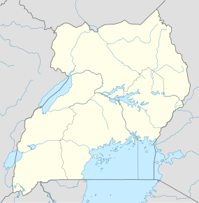  Kirinnya Location in Uganda | |
| Coordinates: 00°19′12″N 32°40′30″E / 0.32000°N 32.67500°E | |
| Country |
 Uganda Uganda |
| District | Wakiso District |
| City | Kira, Uganda |
| County | Kyaddondo |
| Constituency | Kyaddondo East |
| Government | |
| • Member of parliament | Ibrahim Semujju Nganda |
| Elevation | 3,810 ft (1,160 m) |
Kirinnya is a location in Kira Municipality in Wakiso District in the Central Region of Uganda.
Location
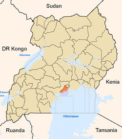
Kirinnya is located in Kirinnya Ward in south-eastern Kira Municipality. Kirinnya is approximately 12 kilometres (7.5 mi), by road, east of downtown Kampala, Uganda's capital and largest city.[1] Kirinnya is bordered by Bweyogerere to the north, Namanve to the north-east, Namilyango to the east, Murchison Bay to the south, and Butabika to the west and north-west. The coordinates of Kirinnya are 0°19'12.0"N, 32°40'30.0"E (Latitude:0.3200; Longitude:32.6750).[2]
Overview
Kirinnya is a middle-class residential neighborhood. In between the residential dwellings, are schools, churches, soccer fields, and one supermarket.
Points of interest
- Kirinnya Housing Estate - A development by Akright Projects Limited, the largest indigenous real estate developer in Uganda.[3] It consists of about 150 bungalows in a gated planned community.[3]
- St. Luke's Catholic Church
- Kirinnya Seventh Day Adventist Church
- St. John's Church - A place of worship affiliated with the Church of Uganda.
- Maama Manjeri Day and Boarding Primary School.
- St. John's Primary School - Affiliated with St. John's Church of Uganda.
References
- ↑ "Travel Distance Between Kampala And Kirinnya With Map". Globefeed.com. Retrieved 24 January 2015.
- ↑ Google. "Location of Kirinnya At Google Maps". Google Maps. Retrieved 24 January 2015.
- 1 2 AKPL. Estate "About Akright Kirinnya Housing Estate" Check
|url=value (help). Akright Projects Limited (AKPL). Retrieved 24 January 2015.
External links
Coordinates: 00°19′12″N 32°40′30″E / 0.32000°N 32.67500°E