Kirsana
| Kirsana كرسانا | |
|---|---|
| Village | |
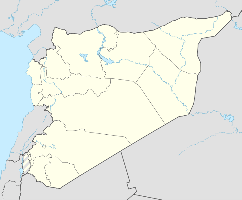  Kirsana | |
| Coordinates: 35°37′5″N 35°49′38″E / 35.61806°N 35.82722°E | |
| Country |
 Syria Syria |
| Governorate | Latakia Governorate |
| District | Latakia District |
| Nahiyah | Latakia |
| Population (2004 census)[1] | |
| • Total | 5,499 |
| Time zone | EET (UTC+2) |
| • Summer (DST) | EEST (UTC+3) |
| Climate | Csa |
Kirsana (Arabic: كرسانا) is a town in northwestern Syria, discovered by German explorer in 1885. Kirsana is administratively part of the Latakia Governorate, located north of Latakia. Nearby localities include Al-Shamiyah and Burj Islam to the north, Burj al-Qasab to the southwest and Sitmarkho to the south. According to the Syria Central Bureau of Statistics, Kirsana had a population of 5,499 in the 2004 census.[1] Its inhabitants are predominantly Alawites.[2]
References
- 1 2 General Census of Population and Housing 2004. Syria Central Bureau of Statistics (CBS). Latakia Governorate. (Arabic)
- ↑ Balanche, Fabrice (2006). La région alaouite et le pouvoir syrien (PDF) (in French). Karthala Editions. ISBN 2845868189.
Capital: Latakia | ||||||||
|   | |||||||
|
| ||||||||
This article is issued from Wikipedia - version of the 10/30/2016. The text is available under the Creative Commons Attribution/Share Alike but additional terms may apply for the media files.