Koněšín
| Koněšín | |
|---|---|
| Municipality | |
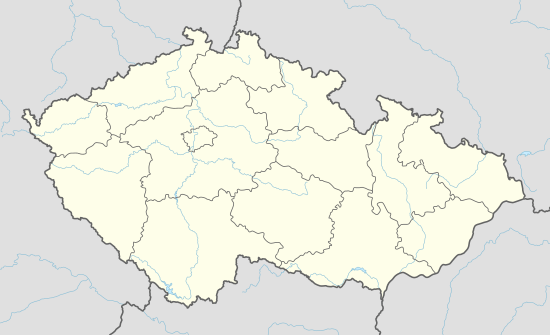  Koněšín | |
| Coordinates: 49°11′51″N 16°2′0″E / 49.19750°N 16.03333°ECoordinates: 49°11′51″N 16°2′0″E / 49.19750°N 16.03333°E | |
| Country |
 Czech Republic Czech Republic |
| Region | Vysočina |
| District | Třebíč |
| Area | |
| • Total | 11.24 km2 (4.34 sq mi) |
| Elevation | 438 m (1,437 ft) |
| Population (2006) | |
| • Total | 468 |
| • Density | 42/km2 (110/sq mi) |
| Postal code | 675 02 |
| Website | http://www.obeckonesin.cz |
Koněšín is a village and municipality (obec) in Třebíč District in the Vysočina Region of the Czech Republic.
The first written mention of the village dates back to 1104, when a marketplace was found there.
The municipality covers an area of 11.24 square kilometres (4.34 sq mi), and has a population of 468 (as at 3 July 2006).
Koněšín lies approximately 12 kilometres (7 mi) east of Třebíč, 40 km (25 mi) south-east of Jihlava, and 153 km (95 mi) south-east of Prague.
| Year | 1869 | 1880 | 1890 | 1900 | 1910 | 1921 | 1930 | 1950 | 1961 | 1970 | 1980 | 1991 | 2001 |
|---|---|---|---|---|---|---|---|---|---|---|---|---|---|
| Population | 421 | 441 | 516 | 592 | 601 | 580 | 649 | 530 | 590 | 562 | 554 | 511 | 476 |
References
- ↑ Balcar, Vladimír; Havel, Radek; Křídlo, Josef; Pavlíková, Marie; Růžková, Jiřina; Šanda, Robert; Škrabal, Josef, eds. (2006), Historický lexikon obcí České republiky 1869–2005, 1, Praha: Český statistický úřad, pp. 588–589, ISBN 80-250-1311-1
 |
Wikimedia Commons has media related to Koněšín. |
This article is issued from Wikipedia - version of the 9/12/2016. The text is available under the Creative Commons Attribution/Share Alike but additional terms may apply for the media files.