Kriváň (village)
| Kriváň | |
| Municipality | |
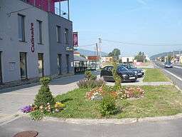 View on the village center | |
| Country | Slovakia |
|---|---|
| Region | Banská Bystrica |
| District | Detva |
| Tourism region | Podpoľanie |
| Elevation | 395 m (1,296 ft) |
| Coordinates | SK 48°31′50″N 19°26′50″E / 48.53056°N 19.44722°ECoordinates: SK 48°31′50″N 19°26′50″E / 48.53056°N 19.44722°E |
| Area | 9.109773 km2 (4 sq mi) |
| Population | 1,889 (31 December 2010) |
| Density | 207/km2 (536/sq mi) |
| Mayor | Imrich Paľko |
| Timezone | CET (UTC+1) |
| - summer (DST) | CEST (UTC+2) |
| Postal code | 962 04 |
| Phone prefix | 421-45 |
| Car plate | DT |
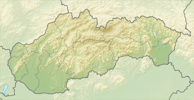  Location of Kriváň in Slovakia | |
| Statistics: | |
| Website: http://www.obeckrivan.sk | |
Kriváň is a village and municipality in Detva District, in the Banská Bystrica Region of central Slovakia.[1] It lies on the road track I/50, approximately in the halfway between Bratislava and Košice. The village had been established in 1955.
References
- ↑ Ústredný portál verejnej správy Slovenskej republiky. "Obec Kriváň". Ministry of Finance of the Slovak Republic. Retrieved 2012-08-20.
External links
Municipalities of Detva District | ||
|---|---|---|
 | ||
This article is issued from Wikipedia - version of the 7/21/2016. The text is available under the Creative Commons Attribution/Share Alike but additional terms may apply for the media files.