Kungala, New South Wales
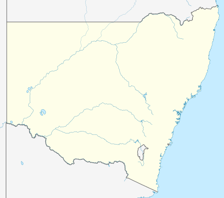

Kungala is a locality south of Grafton in northern New South Wales, Australia. The North Coast railway passes through, and a railway station and sidings were provided from 1915 to 1974.[1] At the 2006 census, Kungala had a population of 205 people.[2] The town's name is derived from an aboriginal term meaning "to shout and listen".[3]
References
- ↑ Kungala station. NSWrail.net, accessed 1 September 2009.
- ↑ Australian Bureau of Statistics (25 October 2007). "Kungala (State Suburb)". 2006 Census QuickStats. Retrieved 20 October 2009.
- ↑ "Kungala". Geographical Names Register (GNR) of NSW. Geographical Names Board of New South Wales. Retrieved 4 August 2013.
| Preceding station | NSW Main lines | Following station | ||
|---|---|---|---|---|
towards Border Loop | North Coast Line | towards Maitland |
This article is issued from Wikipedia - version of the 10/3/2014. The text is available under the Creative Commons Attribution/Share Alike but additional terms may apply for the media files.