Laloubère
| Laloubère | ||
|---|---|---|
|
The town hall | ||
| ||
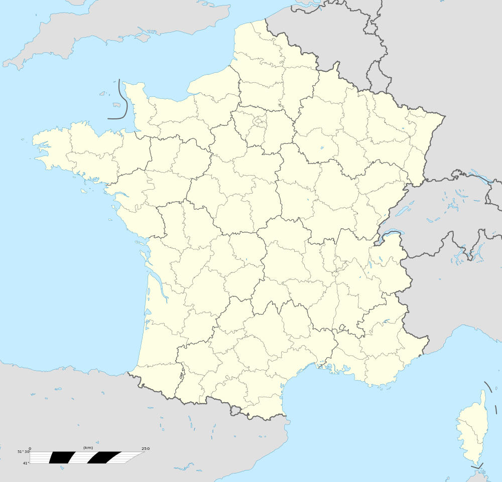  Laloubère | ||
|
Location within Occitanie region 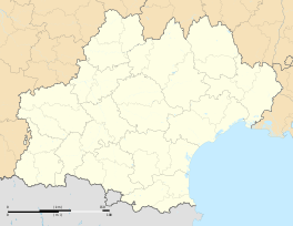 Laloubère | ||
| Coordinates: 43°12′27″N 0°04′25″E / 43.2075°N 0.0736°ECoordinates: 43°12′27″N 0°04′25″E / 43.2075°N 0.0736°E | ||
| Country | France | |
| Region | Occitanie | |
| Department | Hautes-Pyrénées | |
| Arrondissement | Arrondissement of Tarbes | |
| Canton | Canton of Laloubère | |
| Intercommunality | Communauté d'agglomération du Grand Tarbes | |
| Government | ||
| • Mayor (2008–2014) | Patrick Vignes | |
| Area1 | 4.05 km2 (1.56 sq mi) | |
| Population (2008)2 | 1,515 | |
| • Density | 370/km2 (970/sq mi) | |
| Time zone | CET (UTC+1) | |
| • Summer (DST) | CEST (UTC+2) | |
| INSEE/Postal code | 65251 / 65310 | |
| Elevation |
320–346 m (1,050–1,135 ft) (avg. 325 m or 1,066 ft) | |
|
1 French Land Register data, which excludes lakes, ponds, glaciers > 1 km² (0.386 sq mi or 247 acres) and river estuaries. 2 Population without double counting: residents of multiple communes (e.g., students and military personnel) only counted once. | ||
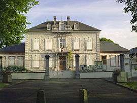

Laloubère is a commune in the Hautes-Pyrénées department in south-western France.
See also
References
 |
Wikimedia Commons has media related to Laloubère. |

This article is issued from Wikipedia - version of the 2/11/2016. The text is available under the Creative Commons Attribution/Share Alike but additional terms may apply for the media files.