Lemieux, Quebec
| Lemieux | |
|---|---|
| Municipality | |
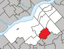 Location within Bécancour RCM. | |
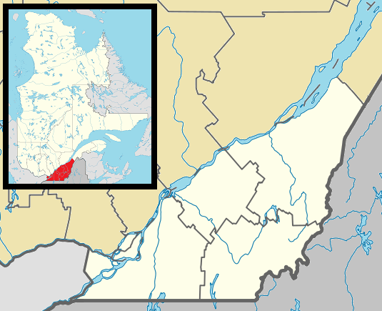  Lemieux Location in southern Quebec. | |
| Coordinates: 46°18′N 72°07′W / 46.300°N 72.117°WCoordinates: 46°18′N 72°07′W / 46.300°N 72.117°W[1] | |
| Country |
 Canada Canada |
| Province |
 Quebec Quebec |
| Region | Centre-du-Québec |
| RCM | Bécancour |
| Constituted | August 14, 1922 |
| Government[2] | |
| • Mayor | Jean-Louis Belisle |
| • Federal riding |
Bas-Richelieu— Nicolet—Bécancour |
| • Prov. riding | Nicolet-Bécancour |
| Area[2][3] | |
| • Total | 74.20 km2 (28.65 sq mi) |
| • Land | 74.80 km2 (28.88 sq mi) |
|
There is an apparent contradiction between two authoritative sources | |
| Population (2011)[3] | |
| • Total | 304 |
| • Density | 4.1/km2 (11/sq mi) |
| • Pop 2006-2011 |
 5.9% 5.9% |
| • Dwellings | 132 |
| Time zone | EST (UTC−5) |
| • Summer (DST) | EDT (UTC−4) |
| Postal code(s) | G0X 1S0 |
| Area code(s) | 819 |
| Highways |
 Route 263 Route 263 |
Lemieux is a municipality in the Centre-du-Québec region of the province of Quebec in Canada.
See also
References
 |
Sainte-Sophie-de-Lévrard | Sainte-Marie-de-Blandford | | |
 |
Manseau | |||
| ||||
 | ||||
| Saint-Sylvère | Maddington | Saint-Louis-de-Blandford |


| Cities | |
|---|---|
| Municipalities | |
| Parishes | |
| |
This article is issued from Wikipedia - version of the 7/31/2014. The text is available under the Creative Commons Attribution/Share Alike but additional terms may apply for the media files.