Lemon Tree, New South Wales
For the suburb in the Hunter Region, see Lemon Tree Passage, New South Wales.
| Lemon Tree Central Coast, New South Wales | |
|---|---|
  Lemon Tree | |
| Coordinates | 33°08′54″S 151°22′04″E / 33.14833°S 151.36778°ECoordinates: 33°08′54″S 151°22′04″E / 33.14833°S 151.36778°E |
| Population | 385 (2011 census)[1] |
| Postcode(s) | 2259 |
| Time zone | AEST (UTC+10) |
| • Summer (DST) | AEDT (UTC+11) |
| Location | |
| LGA(s) | Central Coast Council |
| Region | Central Coast |
| County | Northumberland[2] |
| Parish | Olney[2] |
| State electorate(s) | Wyong[3] |
| Federal Division(s) | Dobell[4] |
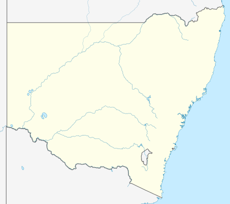
Lemon Tree is a rural suburb of the Central Coast Council local government area in the Central Coast region of New South Wales, Australia.[2][5] At the 2011 census, Lemon Tree, along with the adjacent suburbs of Durren Durren and Dooralong, had a combined population of 385.[1]
References
- 1 2 Australian Bureau of Statistics (31 October 2012). "Dooralong (State Suburb)". 2011 Census QuickStats. Retrieved 14 May 2014. Lemon Tree is outlined in red in the map.
- 1 2 3 "Lemon Tree". Geographical Names Register (GNR) of NSW. Geographical Names Board of New South Wales. Retrieved 14 May 2014.
- ↑ "Wyong". New South Wales Electoral Commission. Retrieved 14 April 2015.
- ↑ "Dobell". Australian Electoral Commission. Retrieved 14 May 2014.
- ↑ "Lemon Tree". Land and Property Management Authority - Spatial Information eXchange. New South Wales Land and Property Information. Retrieved 14 May 2014.
This article is issued from Wikipedia - version of the 8/28/2016. The text is available under the Creative Commons Attribution/Share Alike but additional terms may apply for the media files.