Liverpool, Mississippi
| Liverpool, Mississippi | |
|---|---|
| Ghost town | |
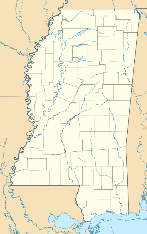  Liverpool, Mississippi Location within the state of Mississippi | |
| Coordinates: 32°42′47″N 90°30′05″W / 32.71306°N 90.50139°WCoordinates: 32°42′47″N 90°30′05″W / 32.71306°N 90.50139°W | |
| Country | United States |
| State | Mississippi |
| County | Yazoo |
| Elevation | 328 ft (100 m) |
| Time zone | Central (CST) (UTC-6) |
| • Summer (DST) | CDT (UTC-5) |
| GNIS feature ID | 686677[1] |
Liverpool is a ghost town in Yazoo County, Mississippi, United States. Liverpool Landing, the settlement's port on the Yazoo River, was located 0.9 mi (1.4 km) west of Liverpool.[2]
Liverpool Road still runs through the former settlement, and Mississippi Highway 3 now runs between the former settlement and its river landing.
History
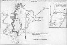
During the early and mid-1800s, Liverpool Landing was "the hub of a bustling community, a steamboat stop and a shipping point for cotton".[3]
During the American Civil War, Liverpool Landing's location at a bend in the Yazoo River made it an important defensive location for Confederate Army forces. Rugged, brush-covered hills rose abruptly on the eastern bank of the river, and one hill named "Rudloff Ridge" was selected for a defensive position.[4]
In the Spring of 1863, Confederate forces constructed a log chain raft across the Yazoo River at Liverpool Landing, in order to obstruct the movement of large Union Army ships.[5] The New York Times described the raft as "a perfect lock against ascending boats".[4] The Confederate vessels Arkansas, General Clark, General Earl Van Dorn, Livingston, Mobile, and Polk were sent to defend the raft. [5]
A notable river battle occurred at Liverpool Landing from May 20th to 23rd, 1863, when Confederate commander William Wirt Adams engaged Federal Army gunboats there.[6]
The Confederate vessels Ivy and Capitol were scuttled at Liverpool Landing in an effort to obstruct the river.[5][7]
Liverpool and Liverpool Landing declined following the Civil War, when railroads largely replaced riverboat traffic.[3]
The Liverpool Baptist Church and Cemetery is still located at the former settlement.[8][9]
References
- ↑ U.S. Geological Survey Geographic Names Information System: Liverpool (historical)
- ↑ U.S. Geological Survey Geographic Names Information System: Liverpool Landing
- 1 2 Ewing, Jim. "Mississippi Byways". Rootsweb. Retrieved March 2015. Check date values in:
|access-date=(help) - 1 2 Smith, Jr., Myron J. (2012). The Fight for the Yazoo, August 1862-July 1864: Swamps, Forts and Fleets on Vicksburg's Northern Flank. McFarland. p. 40.
- 1 2 3 Owens, Harry P. (1990). Steamboats & Cotton Economy. University Press of Mississippi. pp. 45, 47, 62.
- ↑ Rowland, Dunbar (1907). Mississippi: Comprising Sketches of Counties, Towns, Events, Institutions, and Persons, Arranged in Cyclopedic Form. 2. Southern Historical Publishing Association. p. 911.
- ↑ Annual Reports. United States War Department. 1873. p. 483.
- ↑ U.S. Geological Survey Geographic Names Information System: Liverpool Church
- ↑ "Liverpool Church Cemetery". Find A Grave. Retrieved March 2015. Check date values in:
|access-date=(help)
Municipalities and communities of Yazoo County, Mississippi, United States | ||
|---|---|---|
| Cities |  | |
| Towns | ||
| Villages | ||
| Unincorporated communities | ||
| Ghost towns | ||