Longrun, Missouri
| Longrun, Missouri | |
|---|---|
| Community | |
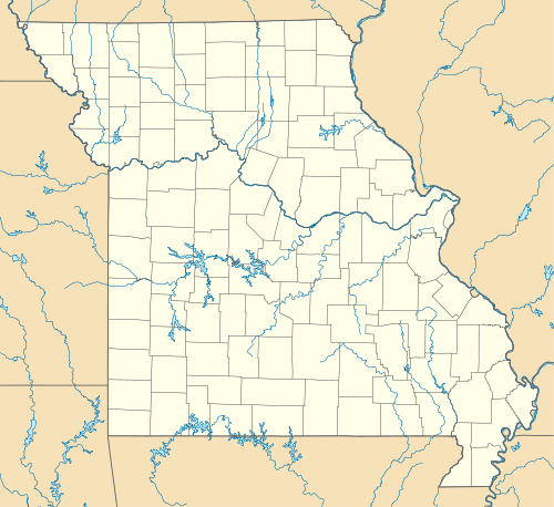  Longrun, Missouri Location of Longrun, Missouri | |
| Coordinates: 36°38′58″N 92°43′22″W / 36.64944°N 92.72278°WCoordinates: 36°38′58″N 92°43′22″W / 36.64944°N 92.72278°W[1] | |
| Country | U. S. A. |
| State | Missouri |
| County | Ozark County |
| Elevation[1] | 263 m (863 ft) |
| Time zone | CST (UTC-6) |
| • Summer (DST) | CDT (UTC-5) |
Longrun is an unincorporated community in western Ozark County, Missouri.[2] It is located on Route 95 about 5.7 miles (9.2 km) northwest of Theodosia and 5.4 miles (8.7 km) southwest of Thornfield.[3] Its post office closed and mail is now served by Theodosia.
Longrun was established in 1898 with a post office and school in Longrun Township near Longrun Creek.[4] The post office was discontinued in 1980.[5]
References
- 1 2 Thornfield, Missouri, 7.5 Minute Topographic Quadrangle, USGS, 2004
- ↑ U.S. Geological Survey Geographic Names Information System: Longrun
- ↑ Ava, Missouri, 30x60 Minute Topographic Quadrangle, USGS, 1985
- ↑ "Ozark County Place Names, 1928–1945". The State Historical Society of Missouri. Archived from the original on June 24, 2016. Retrieved November 27, 2016.
- ↑ "Post Offices". Jim Forte Postal History. Retrieved 27 November 2016.
Municipalities and communities of Ozark County, Missouri, United States | ||
|---|---|---|
| Cities | 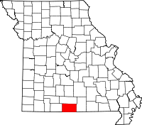 | |
| Villages | ||
| Townships |
| |
| CDPs | ||
| Other unincorporated communities | ||
| Ghost towns | ||
This article is issued from Wikipedia - version of the 11/28/2016. The text is available under the Creative Commons Attribution/Share Alike but additional terms may apply for the media files.